Right at the start: refreshment at the Appelbach
Right at the beginning of the approximately twelve kilometer Hiwweltour Tiefenthaler Höhe you head into the idyllic Appelbach Valley. Here you hike along the banks of the stream, which has become a valuable habitat again after extensive renaturation. The frogs croak and the birds chirp in competition. More nature is not possible! Together with the fishing pond of the angling club, a real gem has been created here, which is simply good for you, especially on hot days. So get some water on your face, pause for a moment and continue on your tour.
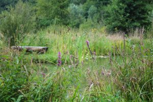

Immediately after the wetland, the cool mixed forest is already waiting. Slowly but surely you gain altitude, after all "Hiwwel" means hill in Rheinhessen. Fortunately, it remains nice and shady and the climb is not too steep:-).
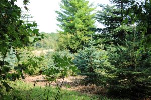
Beautiful panoramaen at the edge of the forest
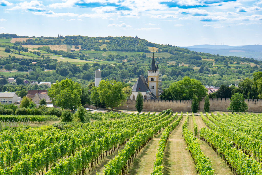
The leisurely climb was worth it! As soon as you step out of the forest, the Hiwweltour presents the "Rheinhessen Switzerland" from its most beautiful side. Deep valleys, forested hills and this wonderful expanse. In the middle of it all stands the high Gothic spire of the chapel of Hof Iben, whose origins date back to the 13th century, when the Knights Templar built a moated castle here.
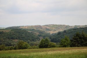
Wonderful panoramic views and shady forest sections now alternate on this section of the Hiwweltour. A perfectly placed hiking lounger invites you to linger a moment longer at the edge of the forest and enjoy the landscape. Everything is nicely shaded and still with a great view.
The dark hole - An abandoned quarry
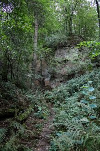
A little later, after the Steinkaute refuge, you will reach a gem on the Tiefenthaler Höhe hike. Hidden in dense greenery lies the Dunzelloch, an old quarry that nature has now reclaimed in an impressive way. Nevertheless, you can still recognize impressive stone formations here.
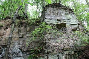
Until the 19th century sandstone was quarried here, now mosses and ferns are allowed to spread again. The dark, damp and quiet atmosphere of this place has almost something mystical. A perfect place to take a breath.
On paths through the forest
We continue on soft forest paths, passing the Stein-Bockenheim forest burial ground. This is available to all people, regardless of their place of residence, for the use of an alternative form of burial.
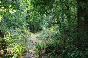
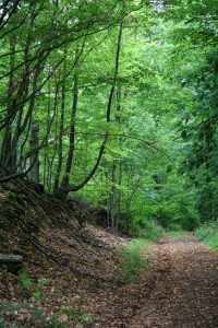
The only real climb is coming up. Fortunately, a bench is waiting at the end, which the path sponsor Walter Weber has placed right there on purpose:-). Time for a short rest and to go in search of wild blackberries, which you can find here with a little luck.
Historical boundary stones and great views
Arriving at the edge of the forest, the next panoramic view opens up immediately. Across Mörsfeld you can see the North Palatinate mountains, above all the Donnersberg, clearly visible with its three "towers", the Ludwig Tower, the TV mast and the US radio station.
Now it goes for over a kilometer along the edge of the forest. Always straight ahead, it seems. In regular sections there are old boundary stones. On one side it says "KB" and on the other "GH". You are directly on the historical border between the Kingdom of Bavaria, to which parts of the Rhine Palatinate belonged, and the Grand Duchy of Hesse, of which Rhine Hesse was a province. The border was established in 1815 at the Congress of Vienna and existed at least until the reorganization of the Federal Republic in 1946.
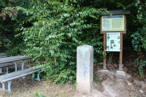
There is a bench at boundary stone No. 425 (there were a total of 1,024 such stones). It is worth taking a break here and enjoying the beautiful view of the Palatinate.
My Tip: If you now feel like a stop, at the Forsthaus Jägerlust there is a turnoff to the Restaurant Hof Pfalzblick off. There is a great panoramic terrace and a selection of regional food and drinks.
Hard to believe. Also times wine
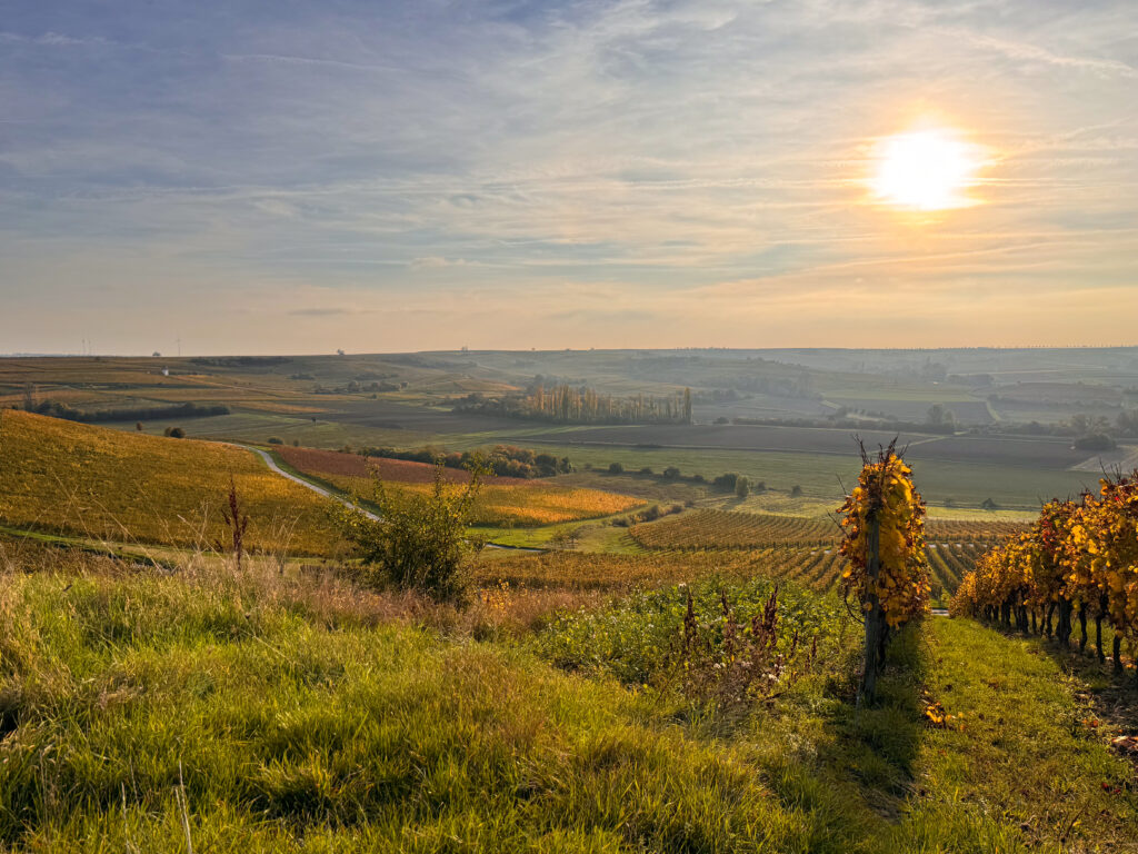
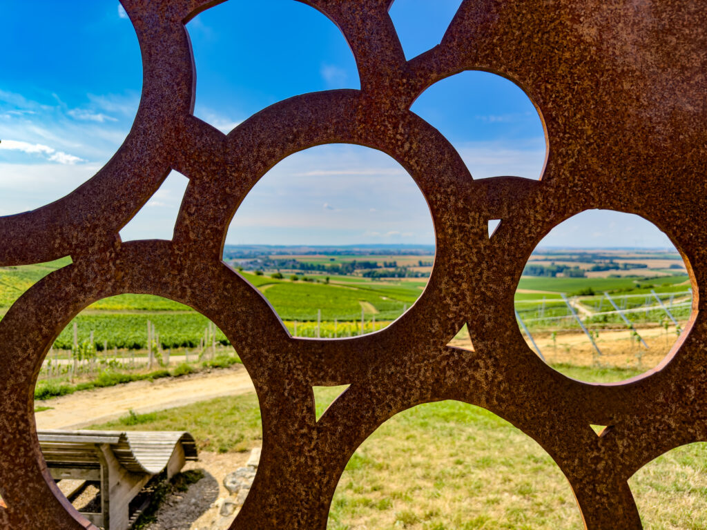
The next stage welcomes you with beautiful meadow paths and wild hedges. There were not yet on the tour. And something else is new: The first vines line your path :-). These lie exactly on the border of the wine-growing areas Rheinhessen and Pfalz. By the way, the wine table is already in the wine-growing area of the Palatinate. Does that matter? Not at all. The view over the Appelbach valley is simply magnificent.
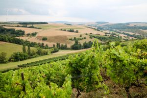
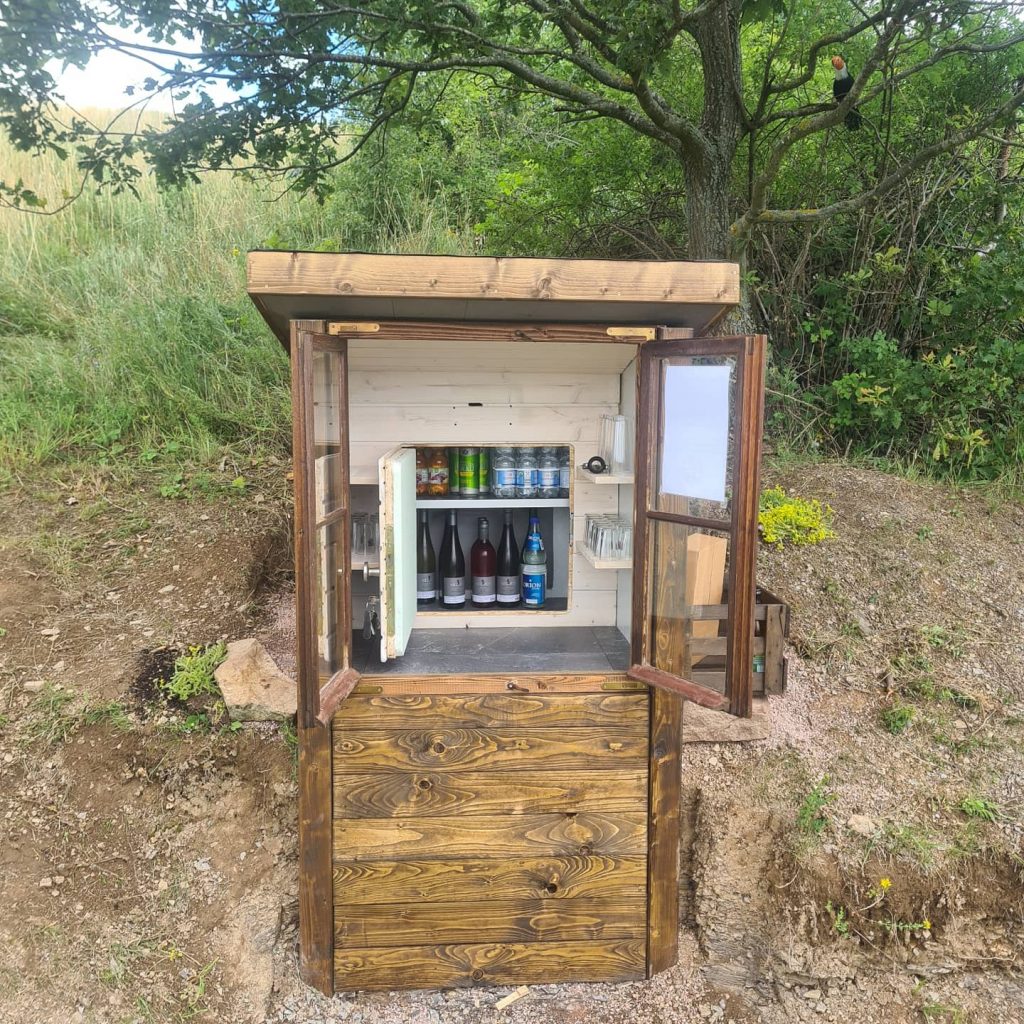
My Tip: At the table of the wine is now the "Niederhäuser Fire Station" with refreshing chilled drinks. Payment is on a trust basis, in cash or via Paypal. The proceeds go to the fire department support association Niederhausen/ Appel e.V.
At the end it goes into the gorge
The last larger section of forest once again contributes cool air and the beautiful canopy of mixed deciduous forest. Then you reach the Hermannsfeld, an open field. One last time you look over the vineyards before you noticeably descend. Tiefenthal is calling!
The wonderful ending to this hike is a gorge-like terrain that requires some sure-footedness, but is scenically gorgeous. The hiking trail even leads you through an old tree. After a good four hours, you'll be back at the village square. Probably exhausted, but hopefully happy and without sunburn.
All information about how to get there, free downloads of maps & GPX tracks as well as a route description of the Hiwweltour Tiefenthaler Höhe can be found at here.

2 Responses
Dear Sir or Madam,
are looking for a map where all Hiwweltouren can be seen.
Ask us how many there are?
Thanks a lot
Hello Mr. Trump,
currently there are 9 Hiwwelt tours. More are in the planning stage. On the page Hiwwelt tours overview you can take a closer look at all the tours, or you can download the entire Hiwwelt tours brochure at Brochure mailing down.
Love greetings
Silas Landeck