


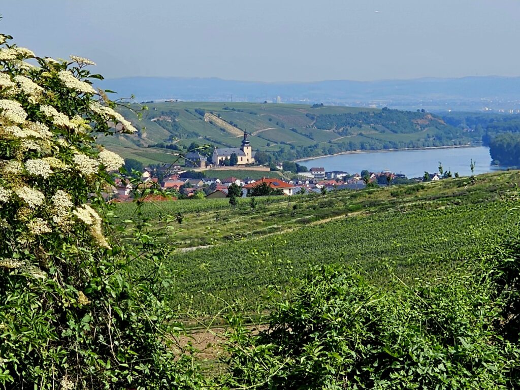
Where wine grows today, sharks, rays and manatees used to cavort. The Coastal path near Alzey-Weinheim combines active movement through the vineyards with beautiful views over the Rhine-Hessian hill country and an exciting journey through time into the prehistoric past of the region.
The Weinheim Bay
The starting point of our hike today is on the main road of Weinheim. The village, which was independent until 1972, is now the largest of four Alzey districts. Before we set off on the 8.7-kilometer circular trail "Weinheimer Bucht," we meet trail sponsor Gerd Fluhr, who enthusiastically tells us about the primeval history of his homeland, which has made Weinheim famous far beyond the borders of Germany.
For example, he remembers that the geological sites in the local quarries and sand pits were the most beautiful playgrounds for him as a schoolchild. They were great places to collect shells and sharks' teeth. In the meantime, the natural monuments have rightfully been fenced off - to protect people and the geology.
Between two peninsulas
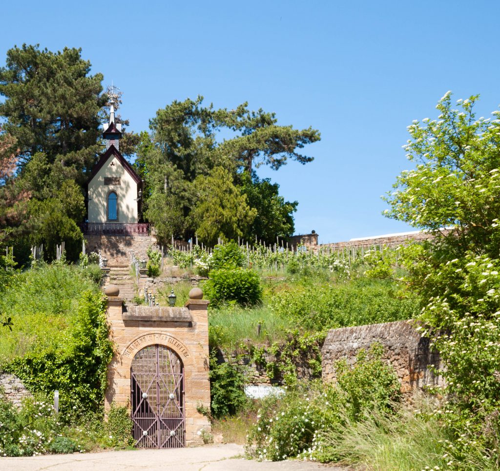
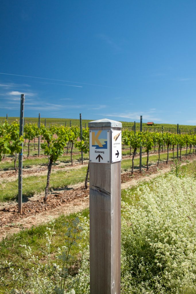
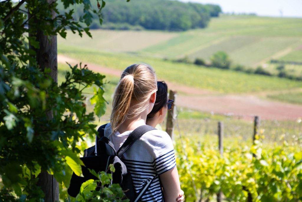
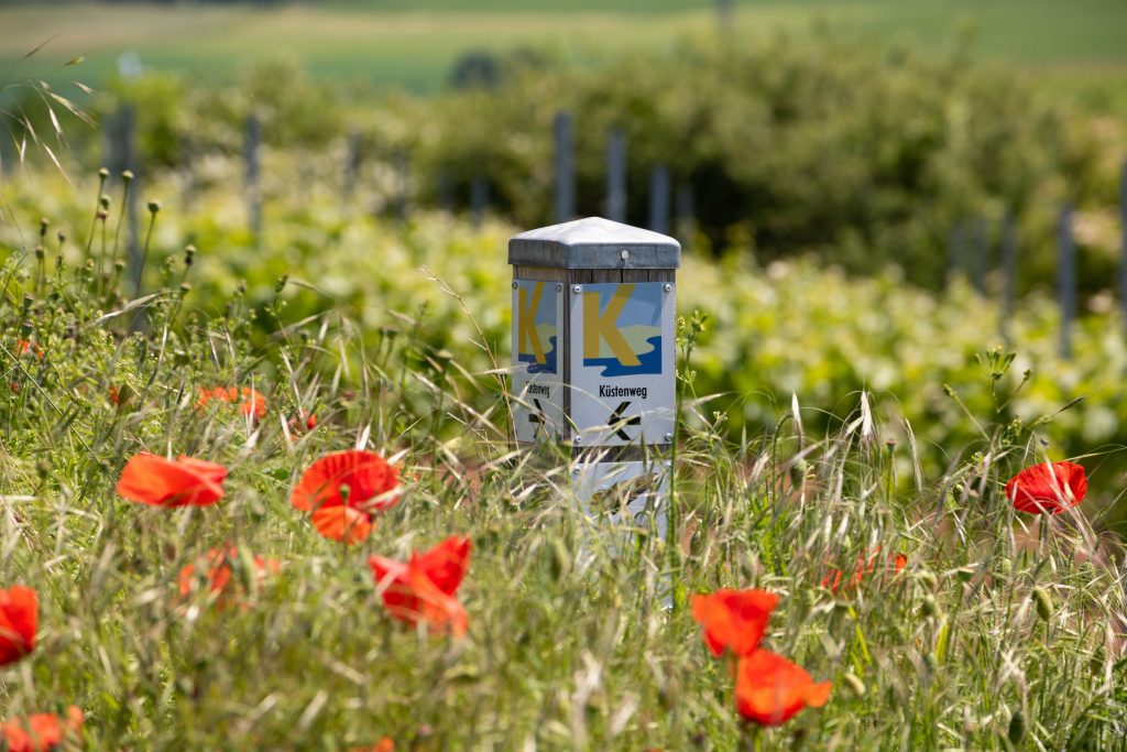
With a good overview and valuable hints in our hiking backpack, off we go! We say goodbye to Gerd Fluhr, follow the Küstenweg signs toward the edge of town and finally turn off into the vineyards. The small chapel of the Heiligenblut winery from the 18th century welcomes us to the Küstenweg.
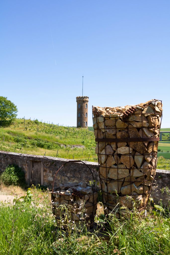
We gain altitude and a few meters further we discover an imposing tower that also belongs to the same winery. In the background runs the highway bridge of the A63. Gerd Fluhr still joked that it was only built so that one could get from one peninsula to the other on dry feet should the primordial sea return.
A valid seabed
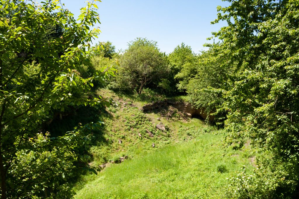
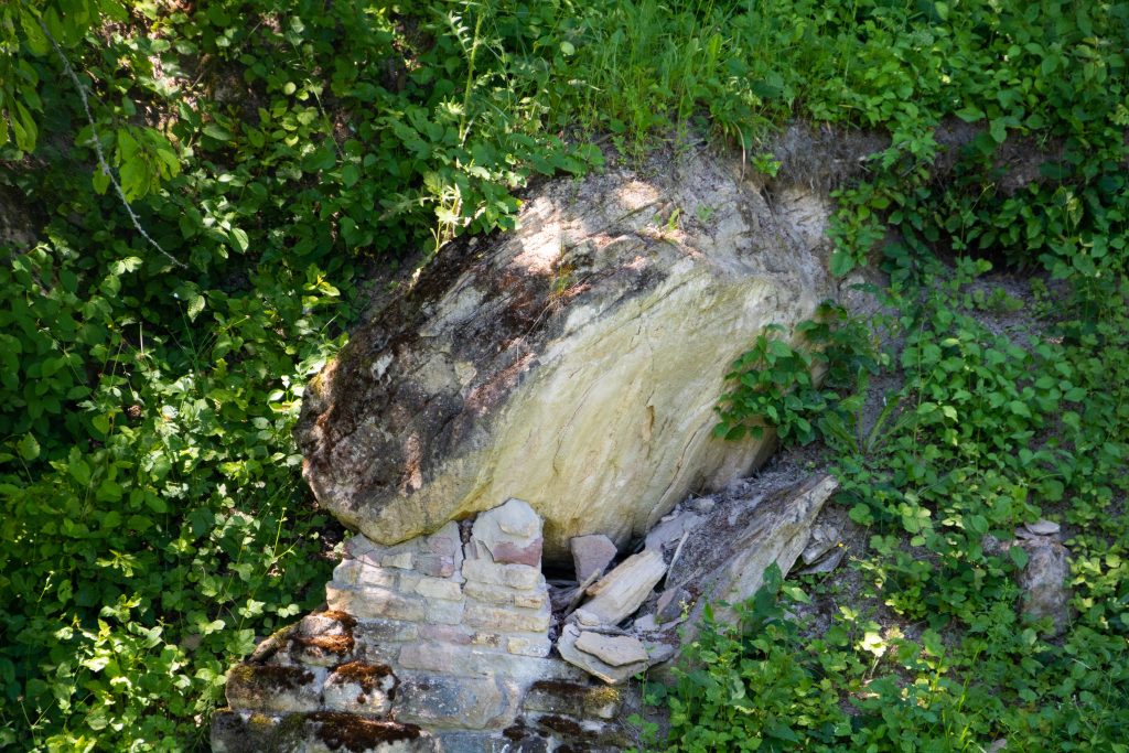
The first natural monument of our hike is located at the eastern end of Weinheim Bay and cannot be missed. The Trift is a former sand pit that rises meters high in front of us. The world-famous geological site is an excellently preserved cross-section of the primeval seabed.
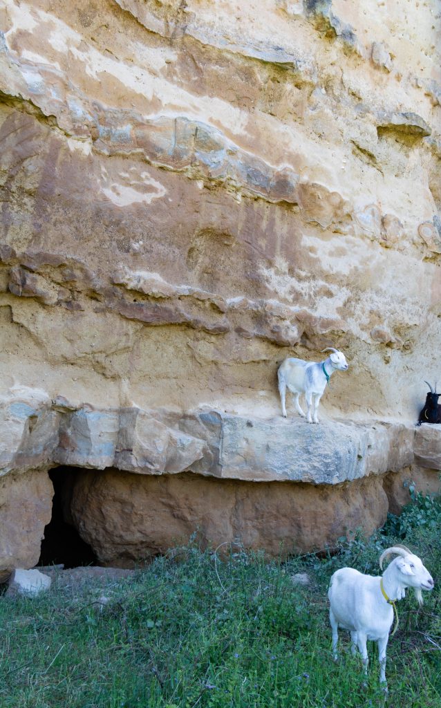
We approach the fence and first observe the goats jumping up and down cheerfully on the sandstone. In the rock we can actually recognize shells even from some distance. We - as absolute laymen - would not have believed that!
A small vineyard has been planted at the Trift, which the wine majesties of Rheinhessen tend in person. When we asked Gerd Fluhr about his favorite spot on the coastal path, he didn't have to survive long: He prefers to sit by the drift at sunset, a nice glass of wine in his hand; after all, that's part of life. The primeval sea at his back and the sea of vines before his eyes ...
From hell and the church
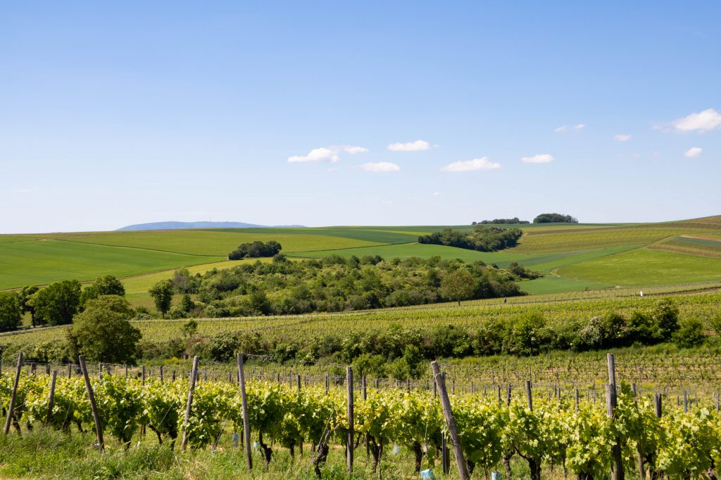
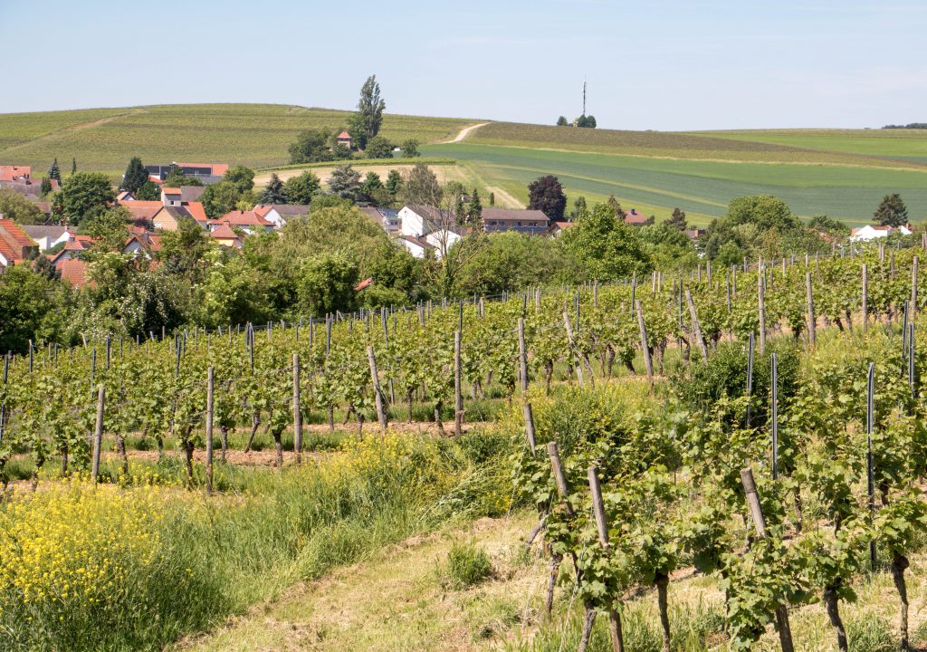
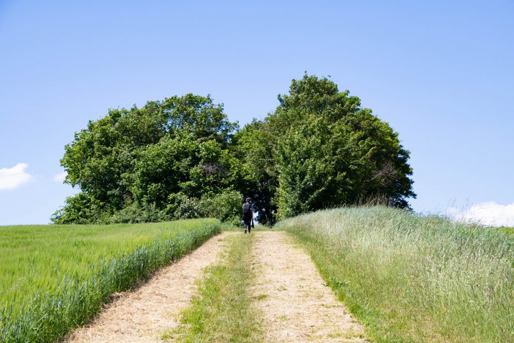
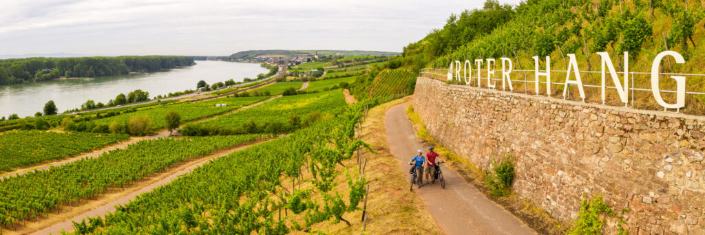
The hiking trail continues uphill, right through the hilly landscape of Rheinhessen. Vines line our path on both sides, and we can practically watch the grapes grow. Viticulture has a long tradition in Weinheim and was first mentioned in documents in the 8th century.
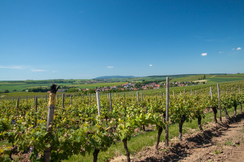
The vineyards of the place have majestic, almost dramatic names. We note that we definitely want to taste wines from the "Hell" or from the "Holy Blood Mountain". With the slopes sloping mainly to the south, the conditions for high quality are excellent.
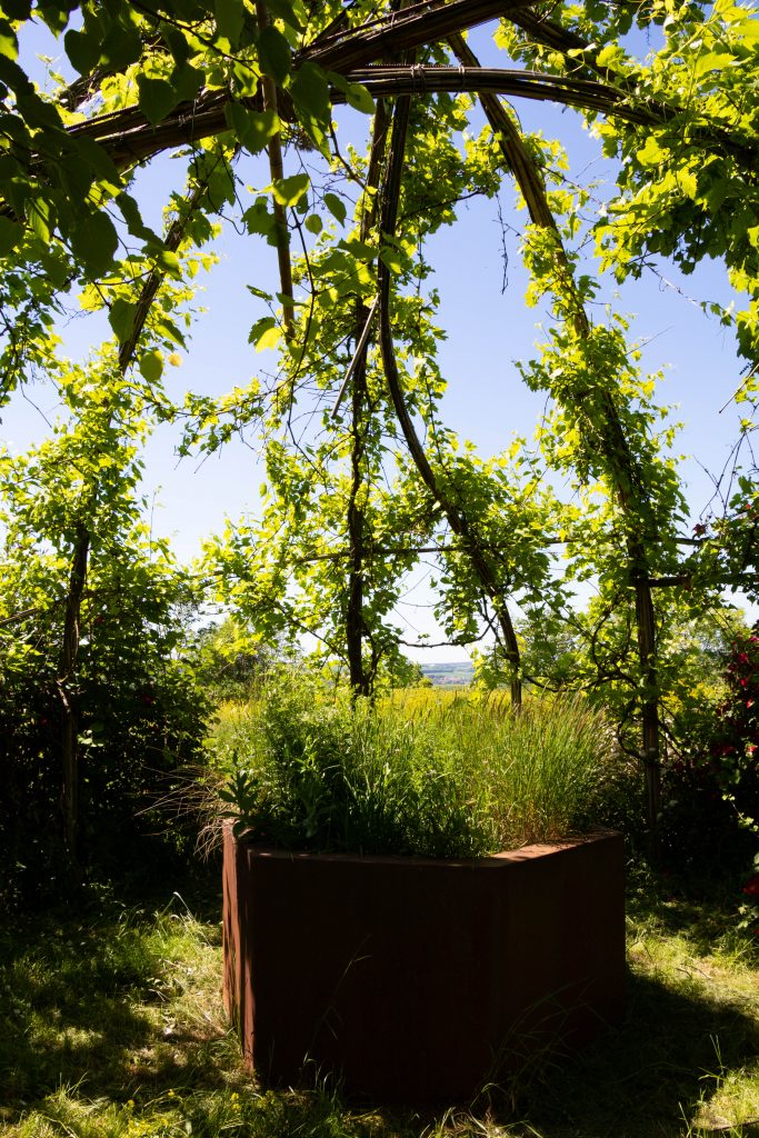
Amidst the many vines, one construction immediately catches our eye. Europe's first wine church has been standing in Alzey-Weinheim since 2009 and is a consecrated place of worship made of vines supported by a filigree, five-meter-high bamboo framework.
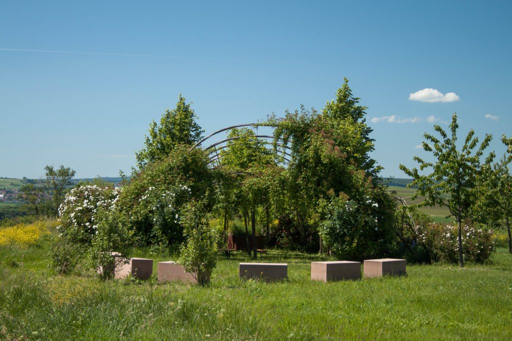
This unique place is fascinating! We walk through the central aisle of the church to the altar, where plants also grow. Except for the rustling of the leafy canopy, it is absolutely silent here. We enjoy the moment of peace before we continue to follow the coastal path.
The world is my oyster
The next section takes us westward below the steppe grove "Auf dem Groß". There is not a cloud in the sky, but up here in the vineyards there is a fresh breeze, so we can enjoy the hike and its fantastic views to the fullest.
After several leisurely kilometers, we reach the Zeilstück sand pit at the northwest end of Weinheim Bay. It is the second important natural monument of the circular route.
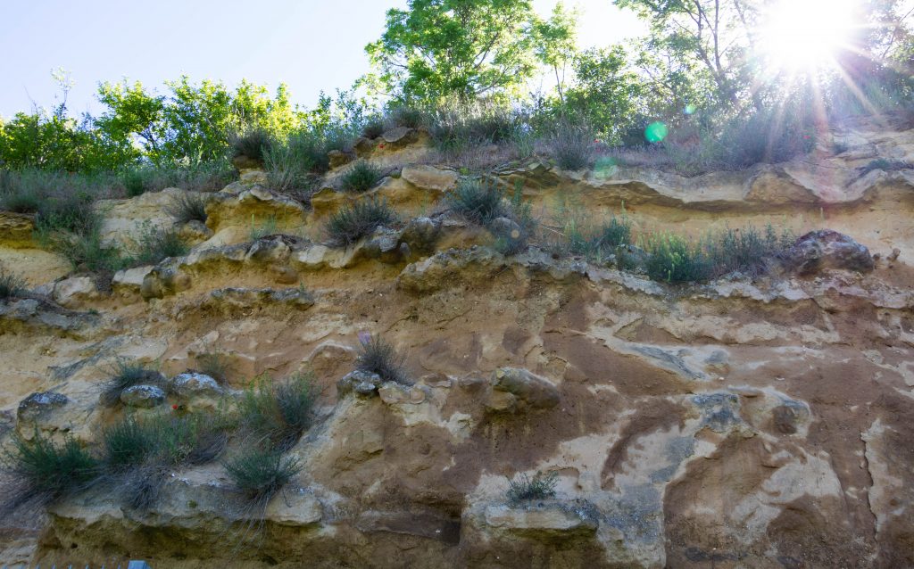
We climb up to the viewing platform, which gives us a good insight into the protected geotope. The sandstone rocks were hollowed out by the primeval sea surf. Here one has found particularly many oysters and therefore also speaks of the oyster patch.
A lounger with sea view
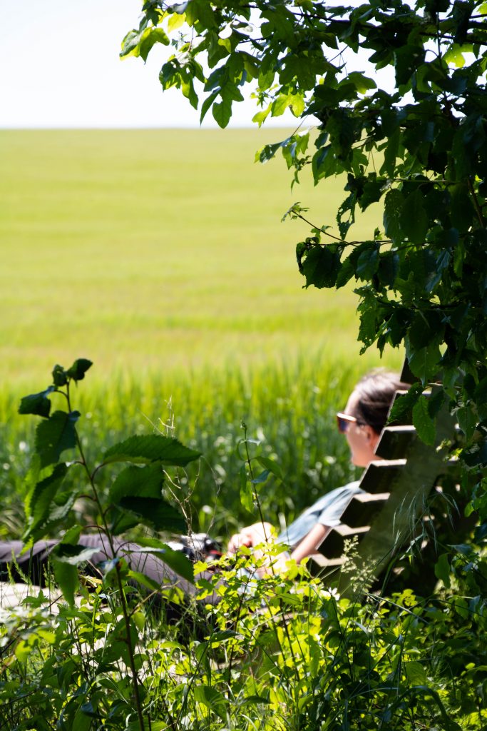
Our next climb has a very distinctive and promising destination. In the middle of the hill west of Alzey-Weinheim, a small cluster of trees casts cooling shade.
And not only that! Up here, we can put our feet up on a perfectly placed hiking lounger and take a well-deserved break. We enjoy the great distant view over the hilly landscape of Rheinhessen and try to imagine it as a sea bay - which, admittedly, is not easy.
The shark, he has teeth
The hiking trail is scenically varied. While it led us the first half mainly through the vineyards, we now also walk through fields, meadows and cozy hedge sections.
We are approaching the starting point of the coastal trail, the outlines of of Weinheim become larger with every step. First, however, the third third important natural monument awaits our visit. At the Neumühle many shark teeth have been found at the Neumühle, which is why the site is called the called "Shark Society".
In total, more than 20 species of sharks and rays, numerous bony fishes and sight cows as well as a hitherto completely unknown sea turtle could be detected here. Pretty impressive!
We pay attention thanks to the hint of Gerd Fluhr to the different stone layers, which are particularly well recognizable at this natural monument. are particularly well recognizable. This shows what enormous forces must have acted here over the course of millions of years. millions of years must have acted here, says the path sponsor, and we can only agree with him. only agree.
We return to Alzey-Weinheim with many new impressions of the earth's history, geology and landscape. It is worthwhile to visit the Museum in Alzey to visit. Many of the finds from the "Weinheim Bay", such as the impressive skeleton of the fossil manatee "Elsa", are exhibited there.


4 Responses
Very nicely described, very nice photos that make you want to do the interesting hike. Unfortunately no map.
Hello A. Starke,
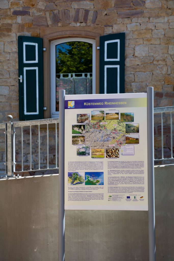
Thank you for the positive feedback. We are pleased if the contribution has pleased and animates to hiking. More information and a map gbit it here and here:
I've been going to the Poppenschenke for 50 years now, buying my wine there and wandering through the adjacent vineyard. Your description and the pictures are very atmospheric, I will drink my Weinheim hell with even more pleasure.
Best regards from the suburbs of Cologne.
Johanna Dellschau.
Dear Mrs. Dellschau,
Thank you very much for the kind words. We are always happy when we hit a nerve with our stories and pictures. I wish you many more wonderful hours in the Poppenschänke and many more years of enjoyment of the Weinheimer Hölle. Cheers and best wishes from Rheinhessen.