A chat with the path sponsor
Before strapping on our backpacks and slipping into our hiking boots, we met Walter Weber, the trail sponsor of the Hiwweltour Tiefenthaler Höhe, arranged. We meet him on the Tiefenthal village square, which was beautifully redesigned a few years ago. He immediately tells us that the village hall there is the former school of Tiefenthal. Between 1854 and 1954, students from first to eighth grade were taught here by only one teacher. Walter Weber's enthusiasm for history is evident, as well as for nature and the special features of his homeland.
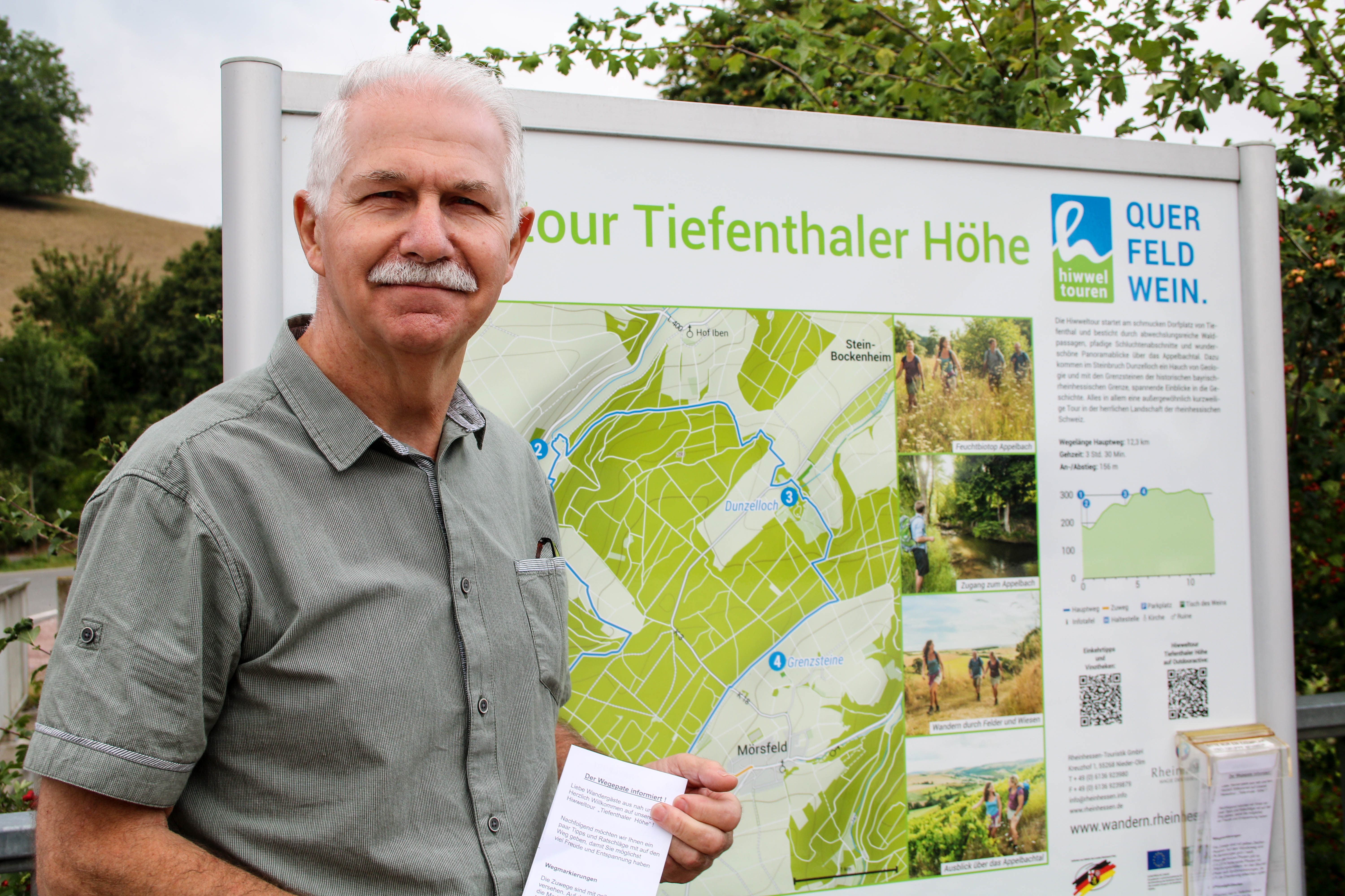
No wonder he was immediately on fire when the idea was born to create a predicate circular hiking trail in Tiefenthal. Some time passed from the first exploratory trail to certification, but it was worth it. Today we want to convince ourselves of that! Walter Weber shows us the hiking route on his lovingly self-designed map and explains the most important highlights of the Hiwweltour. We are excited!
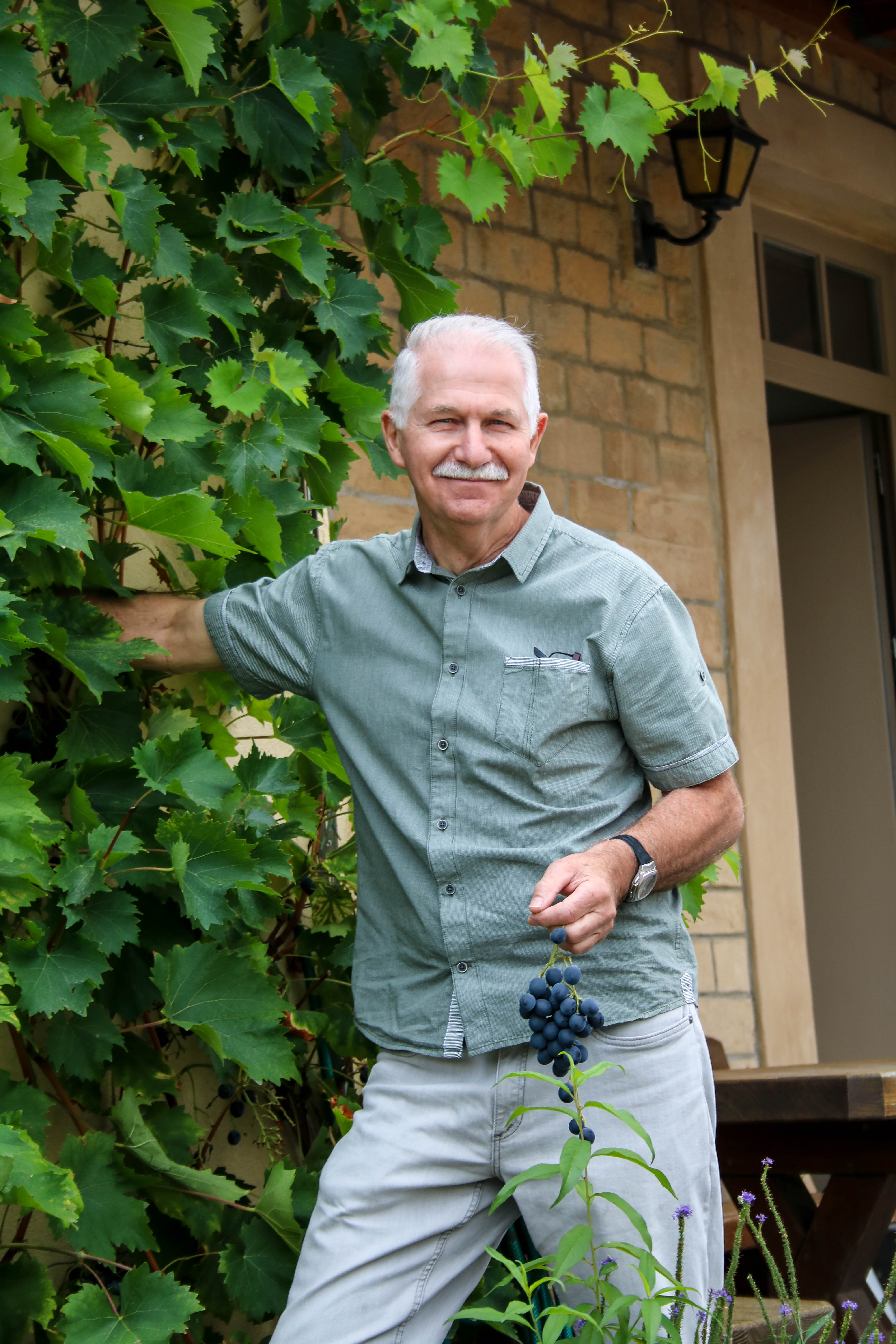
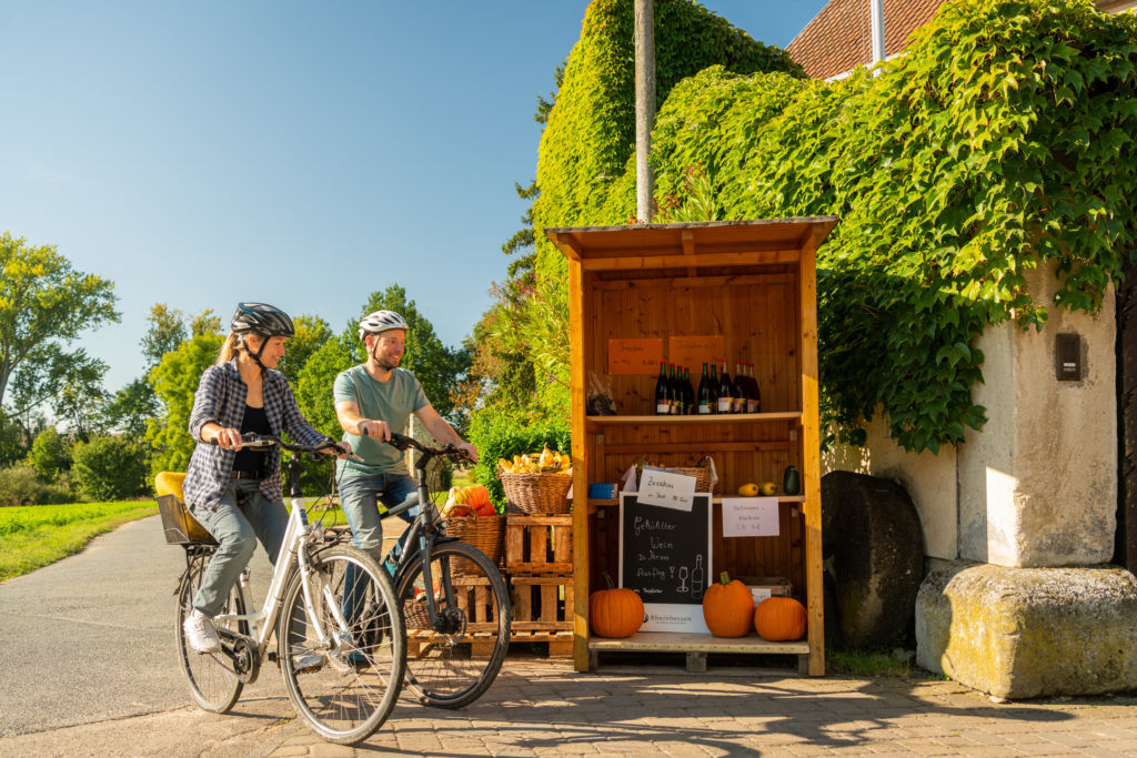
Before we set off, Walter Weber provides us with typical Rhine-Hessian provisions in the form of delicious grapes - freshly picked from the community center wall. Now well supplied, we follow the short access path to the actual starting point of the Hiwweltour.
Along the Appelbach
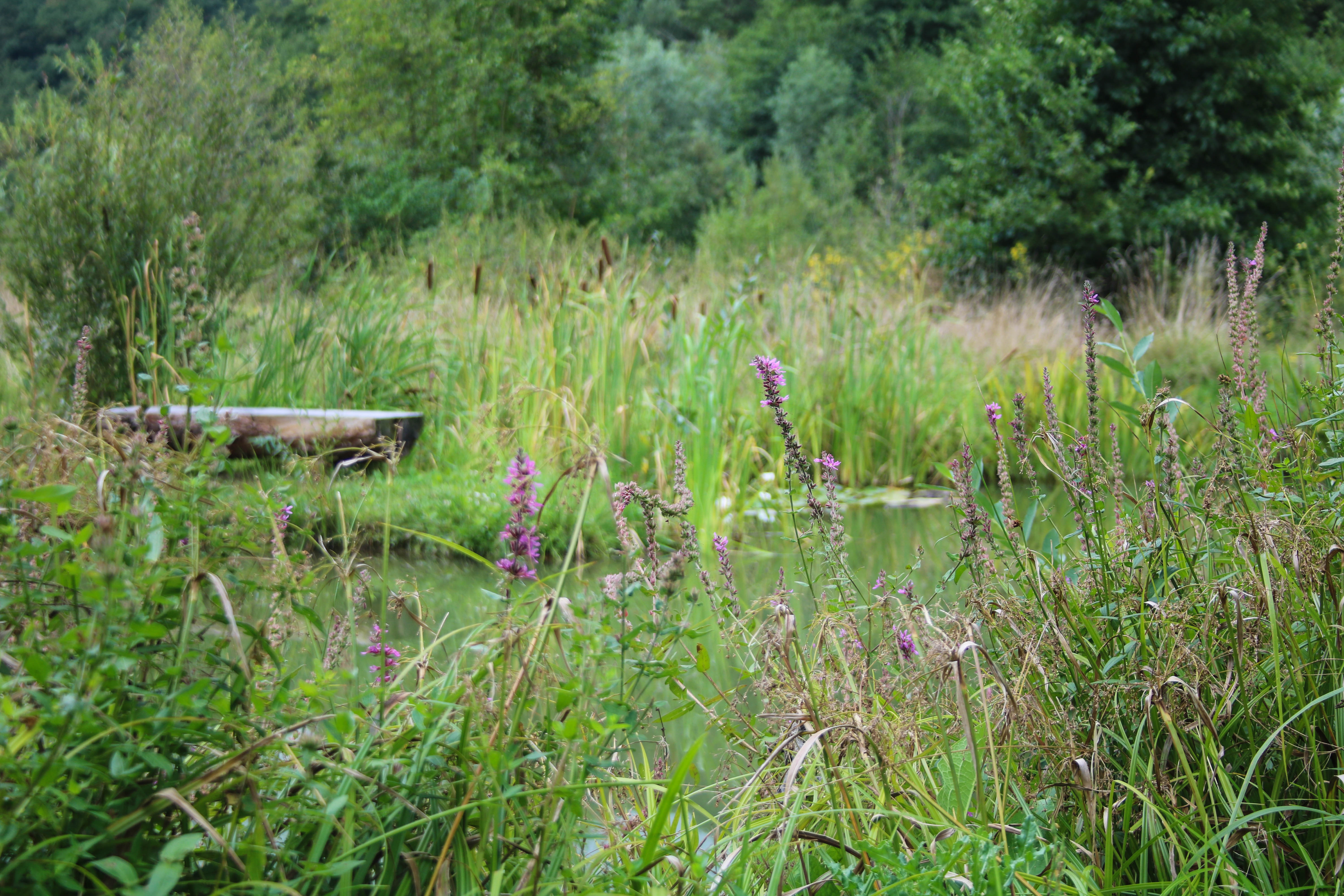
The first stage of the approximately twelve-kilometer hike takes us into the idyllic Appelbach Valley. We walk along the banks of the babbling brook, which after extensive renaturation has once again become a valuable habitat. We hear frogs croaking and birds chirping. Together with the fishing pond of the angling club, a real gem has been created here.
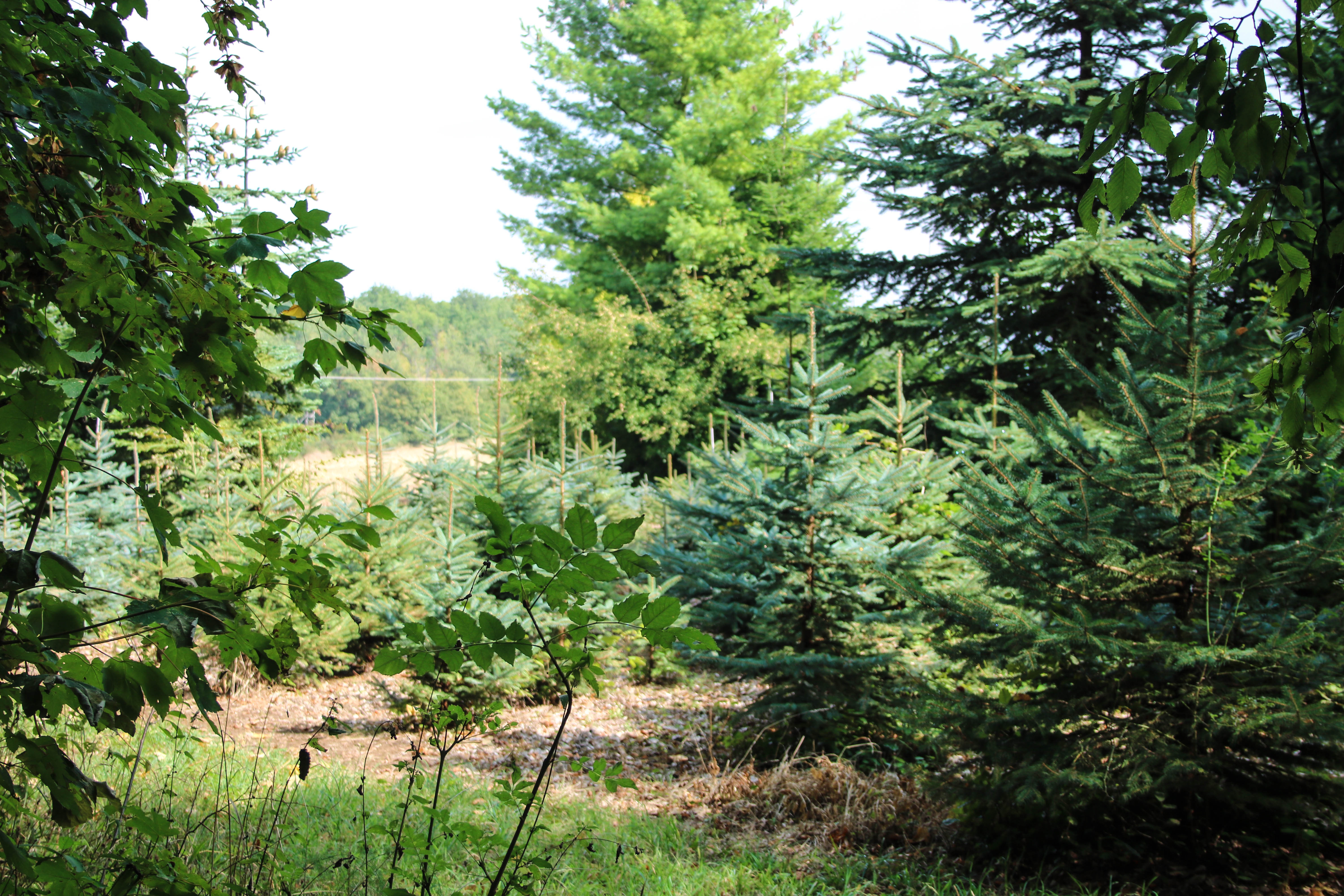
We leave the near-natural wetland behind us and instead dive into the cool mixed forest. Slowly but surely we gain altitude, after all "Hiwwel" means hill in Rheinhessen.
One panorama follows the next
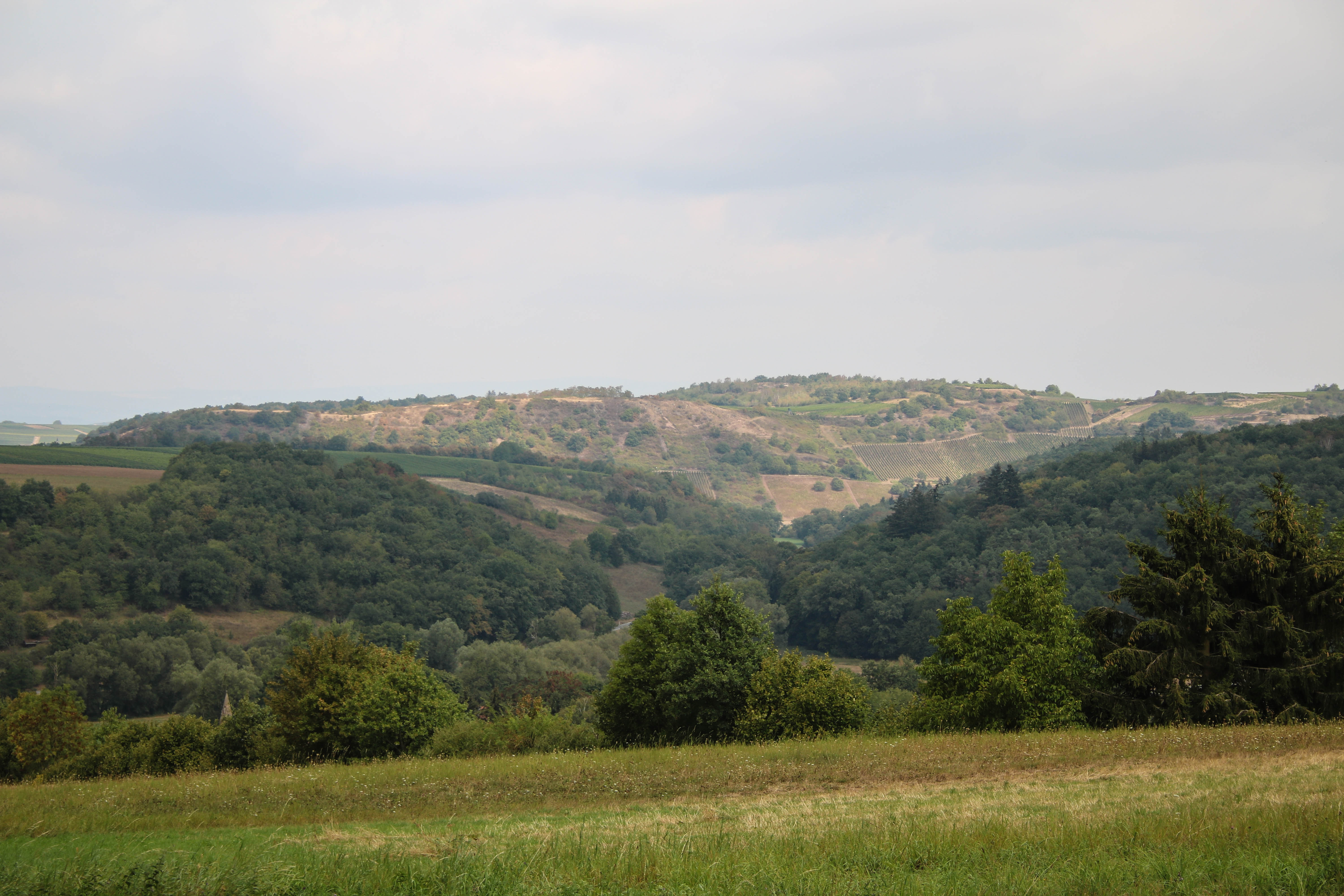
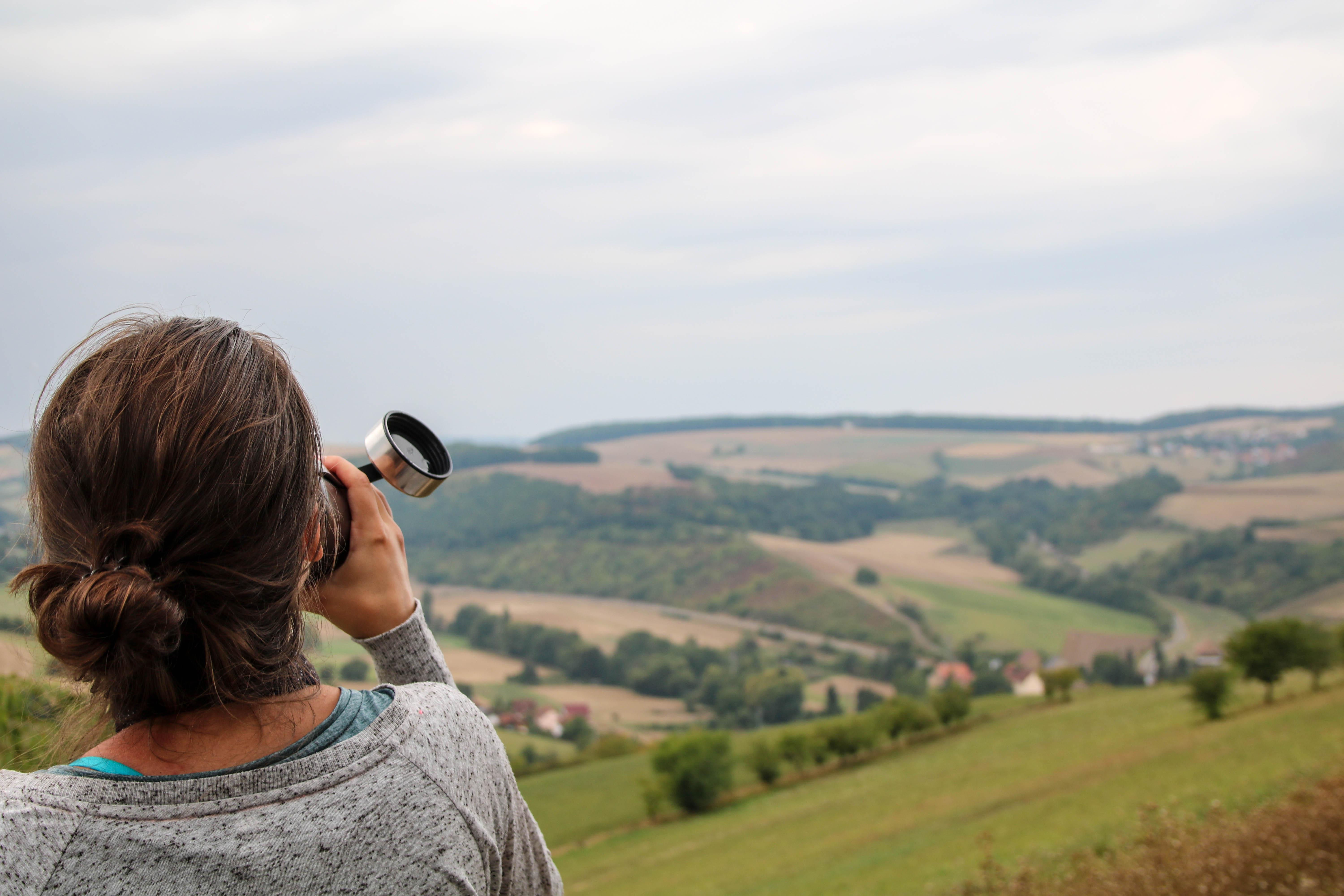
The leisurely climb was worth it! As we step out of the forest, presents itself the "Rheinhessen Switzerland" from its most beautiful side: deep valleys and wooded hills. In the middle of it all, we recognize the high Gothic spire of the chapel of Hof Iben, whose origins date back to the 13th century, when the Templars built a moated castle here.
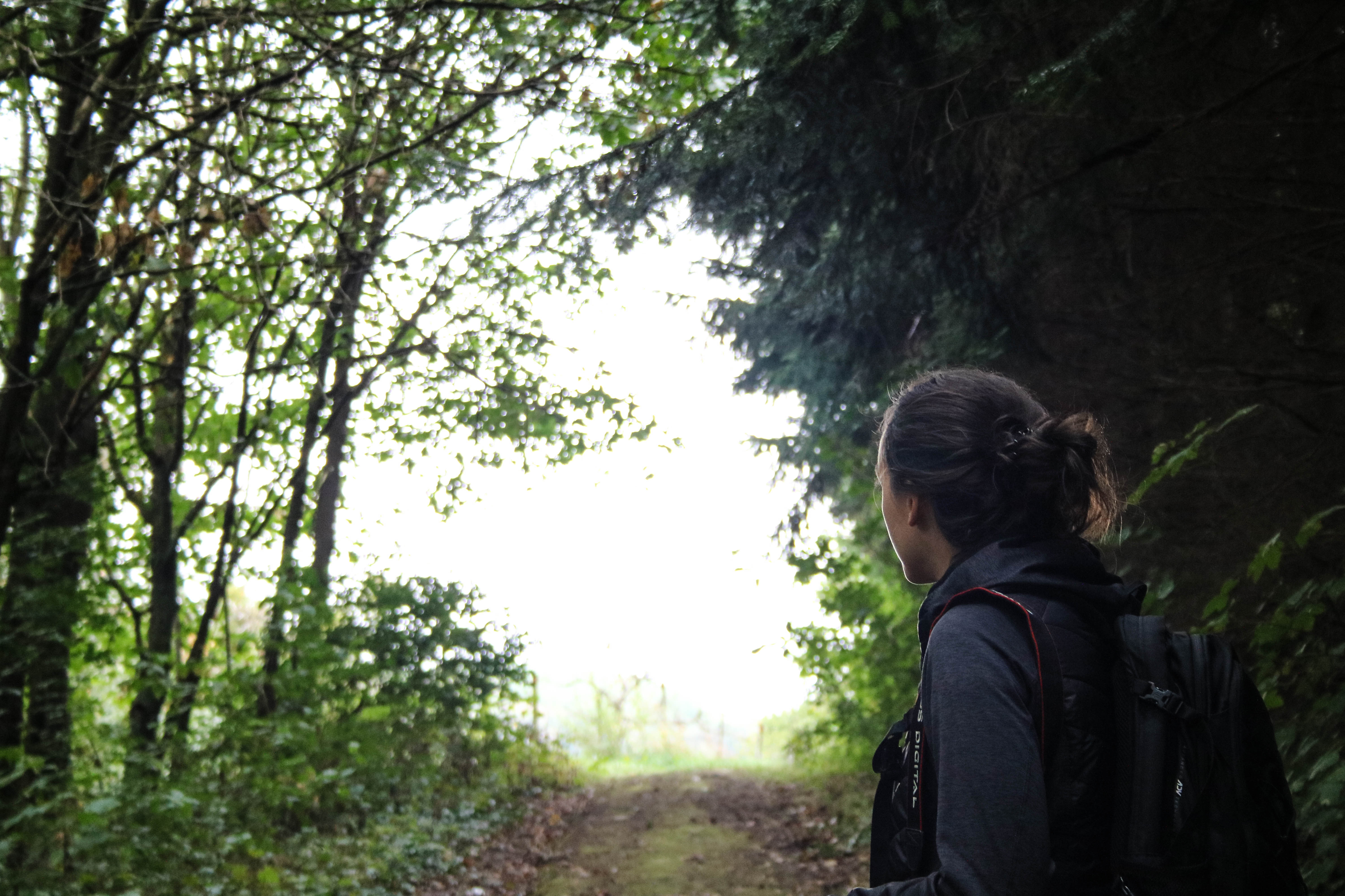
Wonderful panoramic views and shady forest sections now alternate. A perfectly placed hiking lounger invites us to linger a moment longer at the edge of the forest and enjoy the scenery.
In the dark hole
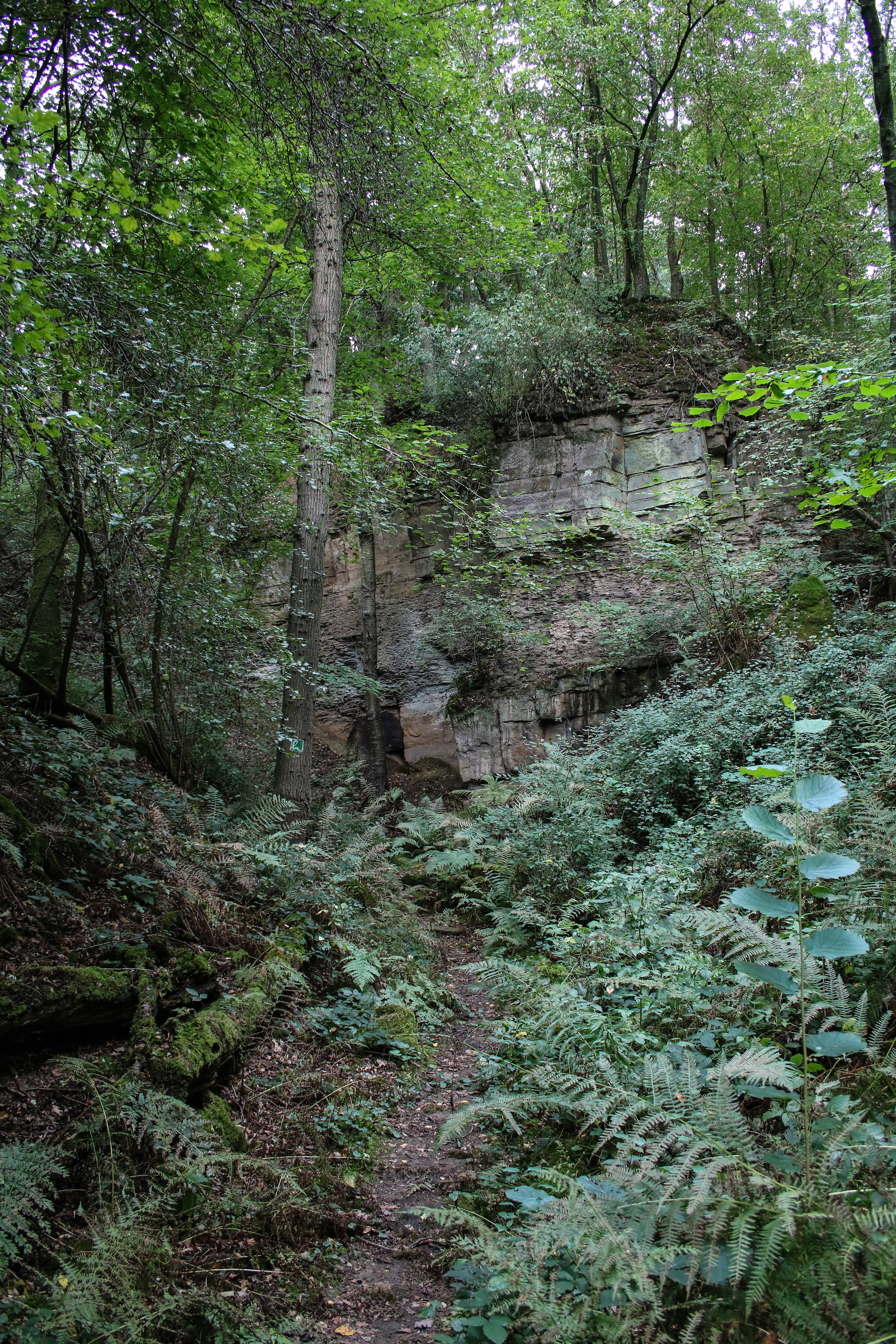
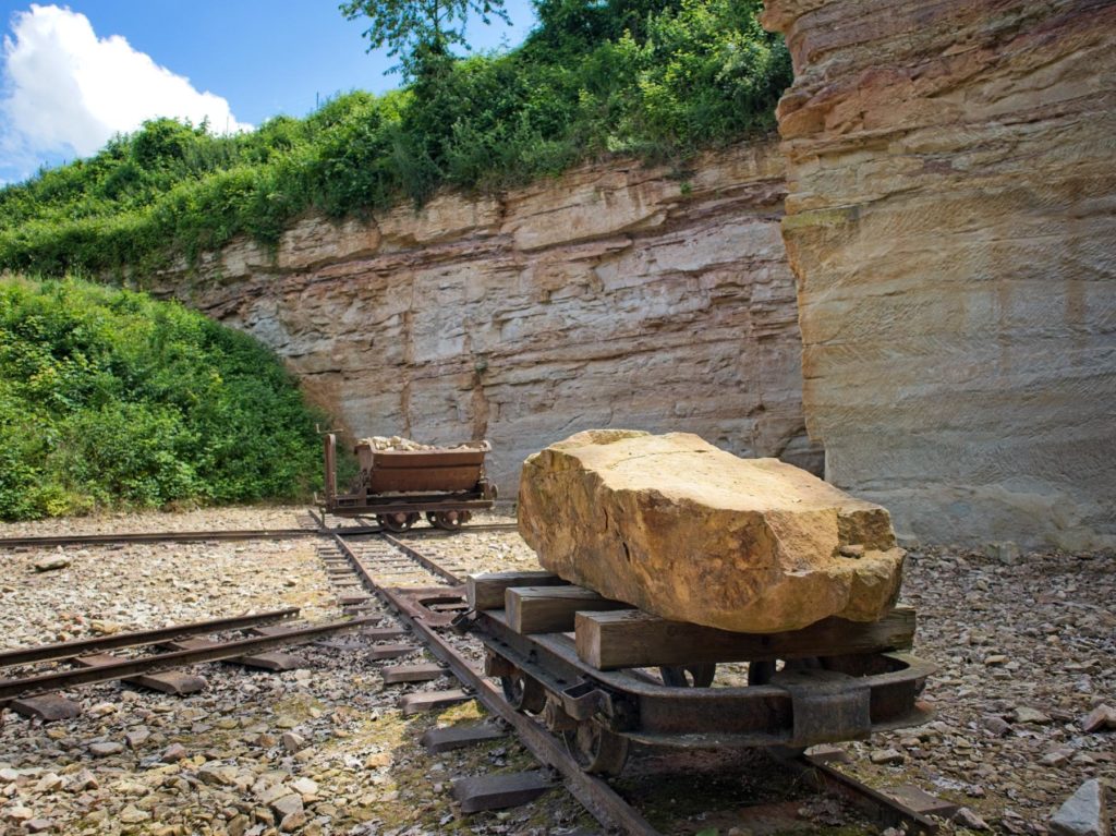
We pass the Steinkaute refuge and a little later reach the next highlight of the Hiwwelt tour, hidden in dense greenery. The Dunzelloch is an old quarry that nature has now reclaimed in an impressive way. Nevertheless, even as a layman you can still recognize impressive stone formations here.
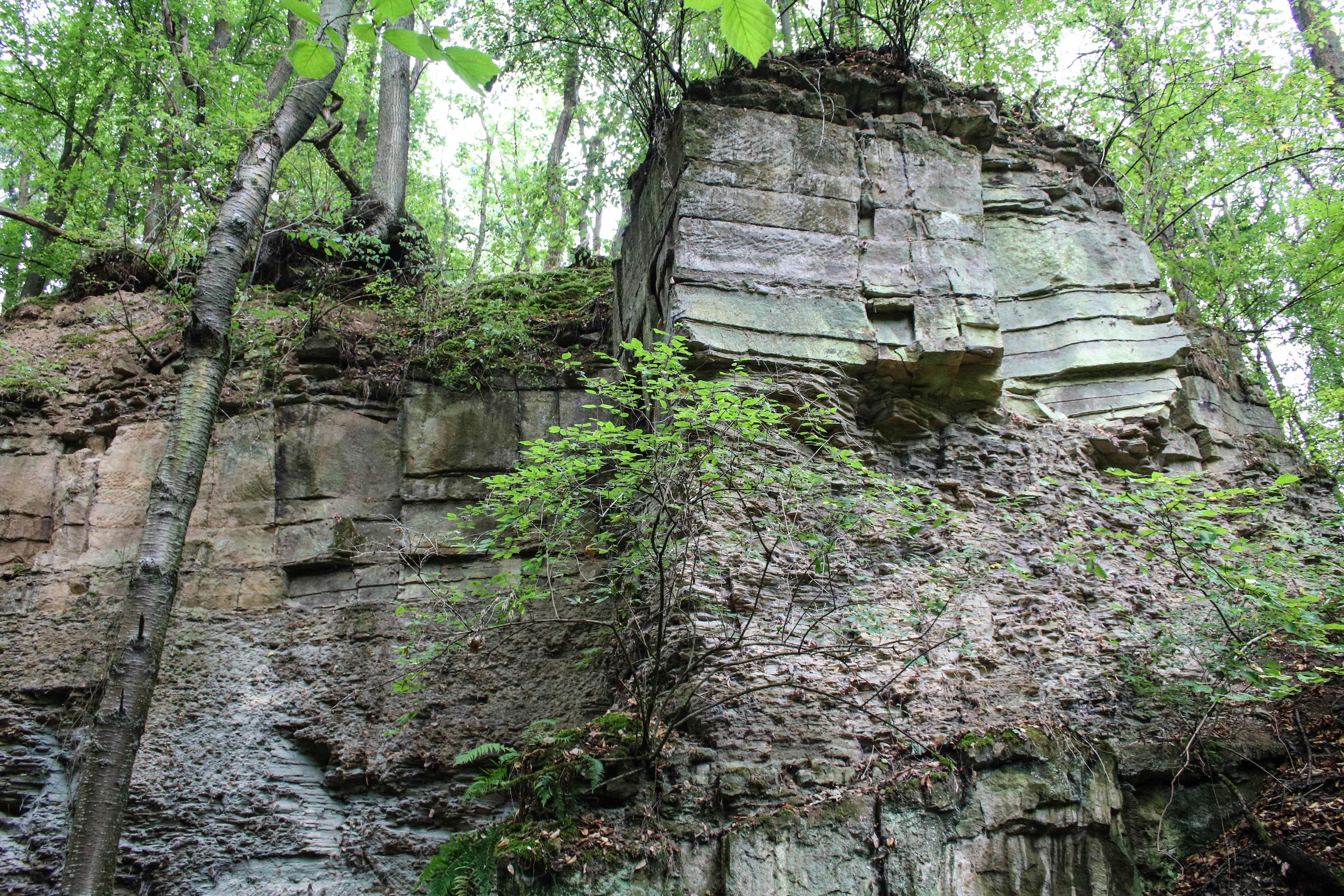
In the 15th century, the first quarries around Tiefenthal were mentioned in documents. However, it is assumed that the Romans already recognized the geological potential of this primeval sea region. Until the 19th century, sandstone was still quarried here, but now mosses and ferns are allowed to spread again. The dark, wet and quiet atmosphere of this place has almost something mystical.
On the road in the forest
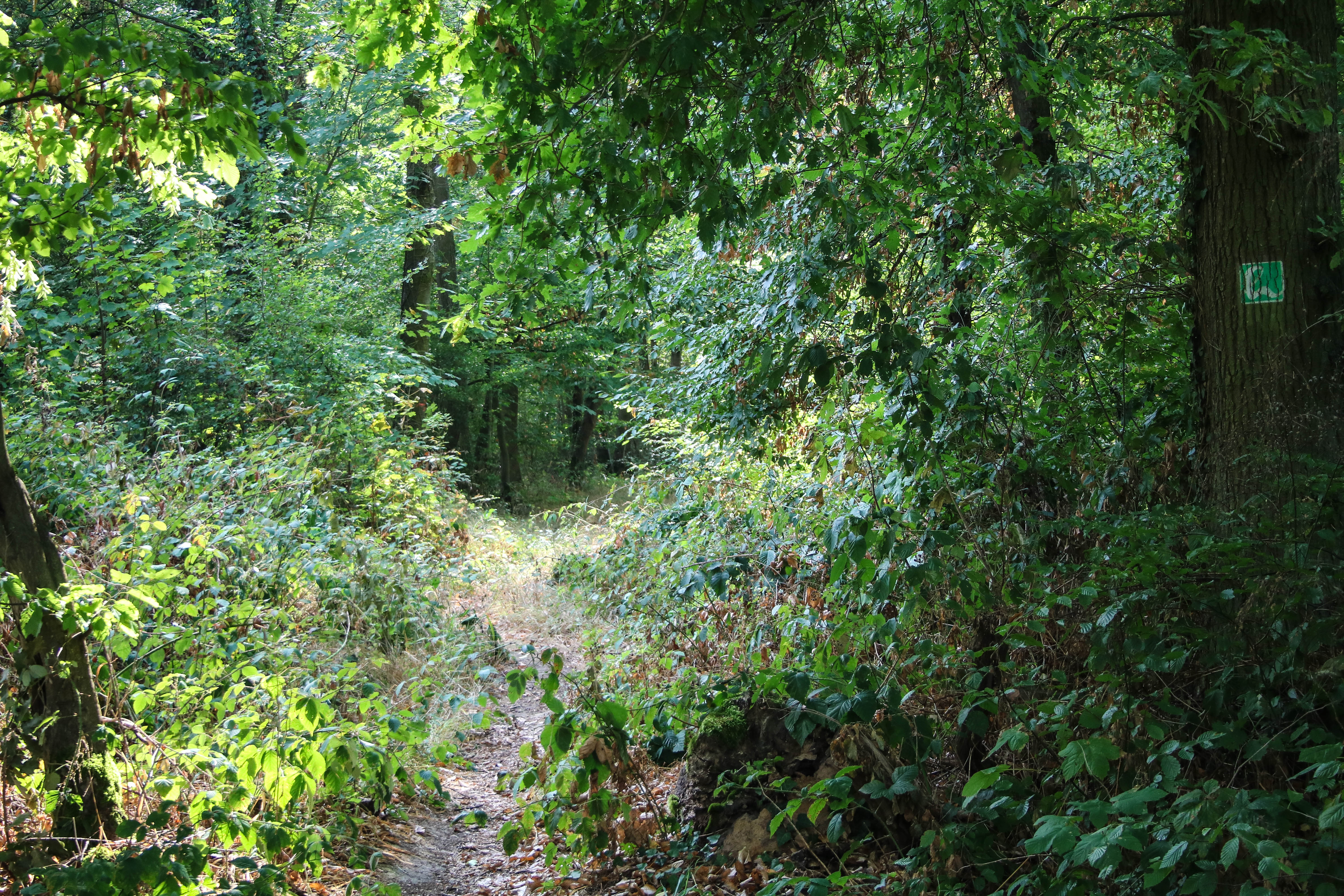

We follow the soft forest path, which is very pleasant to walk on. To our right is the quiet forest of Stein-Bockenheim. A beautiful place with species-rich trees and also a very special atmosphere.
The next climb is coming up. Walter Weber had already shown us this "only steep" section on his map - and told us that there was a bench waiting at the end, which he had placed right there on purpose. And so it is! We also find delicious wild blackberries here. I wonder if they were also strategically placed by the trail godfather? In the meantime, we have eaten our grapes, so a new natural snack comes in handy.
A borderline experience
At the edge of the forest we enjoy the next panoramic view. Across Mörsfeld we can see the North Palatinate mountains, above all the Donnersberg, clearly visible with its three "towers", the Ludwig Tower, the TV mast as well as the US radio station.
We walk along the edge of the forest for over a kilometer. Always straight ahead, it seems. In regular sections we discover old boundary stones, which we inspect more closely. On one side it says "KB" and on the other "GH". We are directly on the historical border between the Kingdom of Bavaria, to which parts of the Rhine Palatinate belonged, and the Grand Duchy of Hesse, of which Rhine Hesse was a province. The border was established in 1815 at the Congress of Vienna and existed after all until the reorganization of the Federal Republic in 1946.
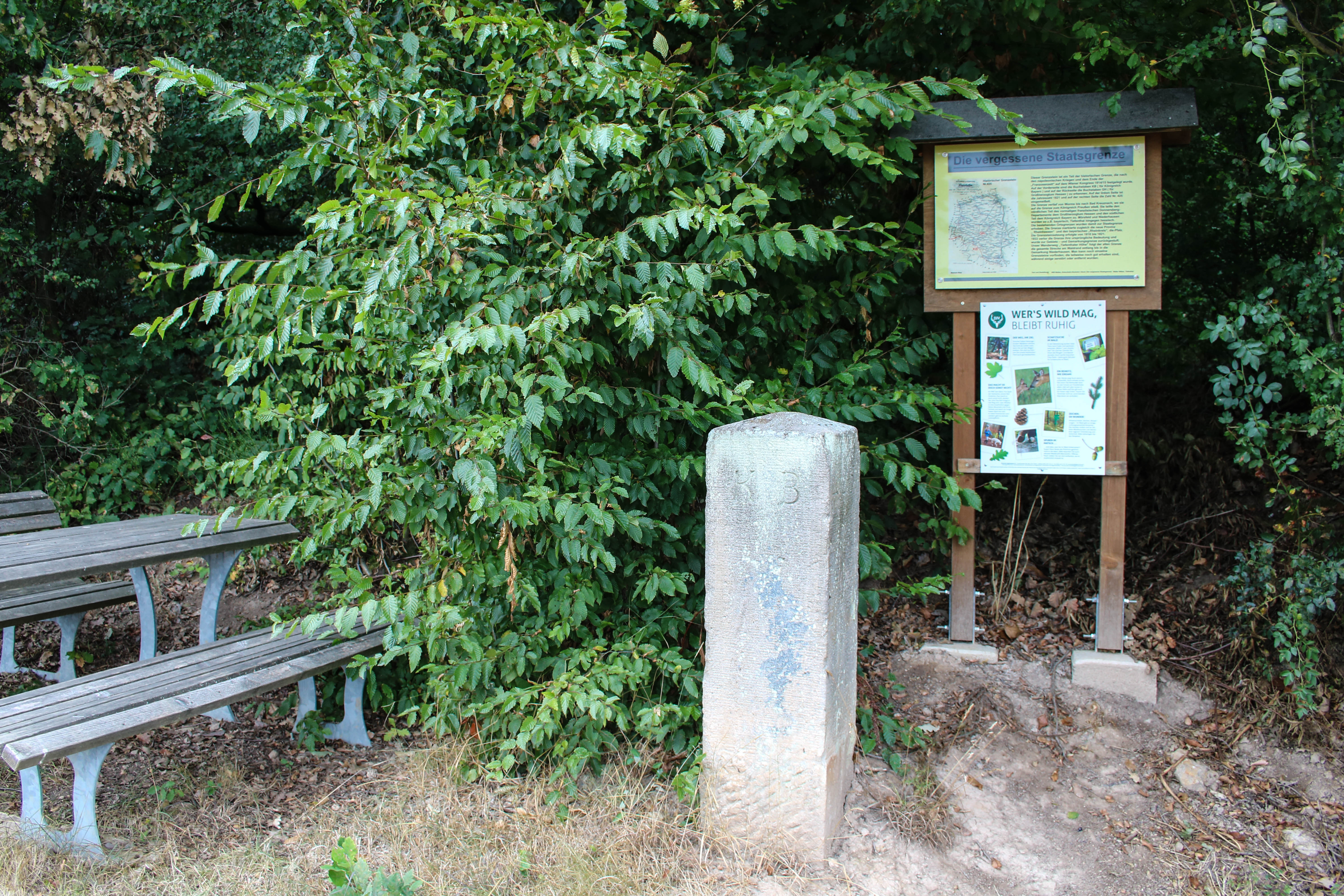
At boundary stone No. 425 (there were a total of 1,024 such stones) there is a bench. Here we take a break and enjoy the beautiful view of the Palatinate and the fresh wind, in which there is also a little breath of history. Walter Weber told us that exactly here is his favorite place of the Hiwweltour. Understandable!
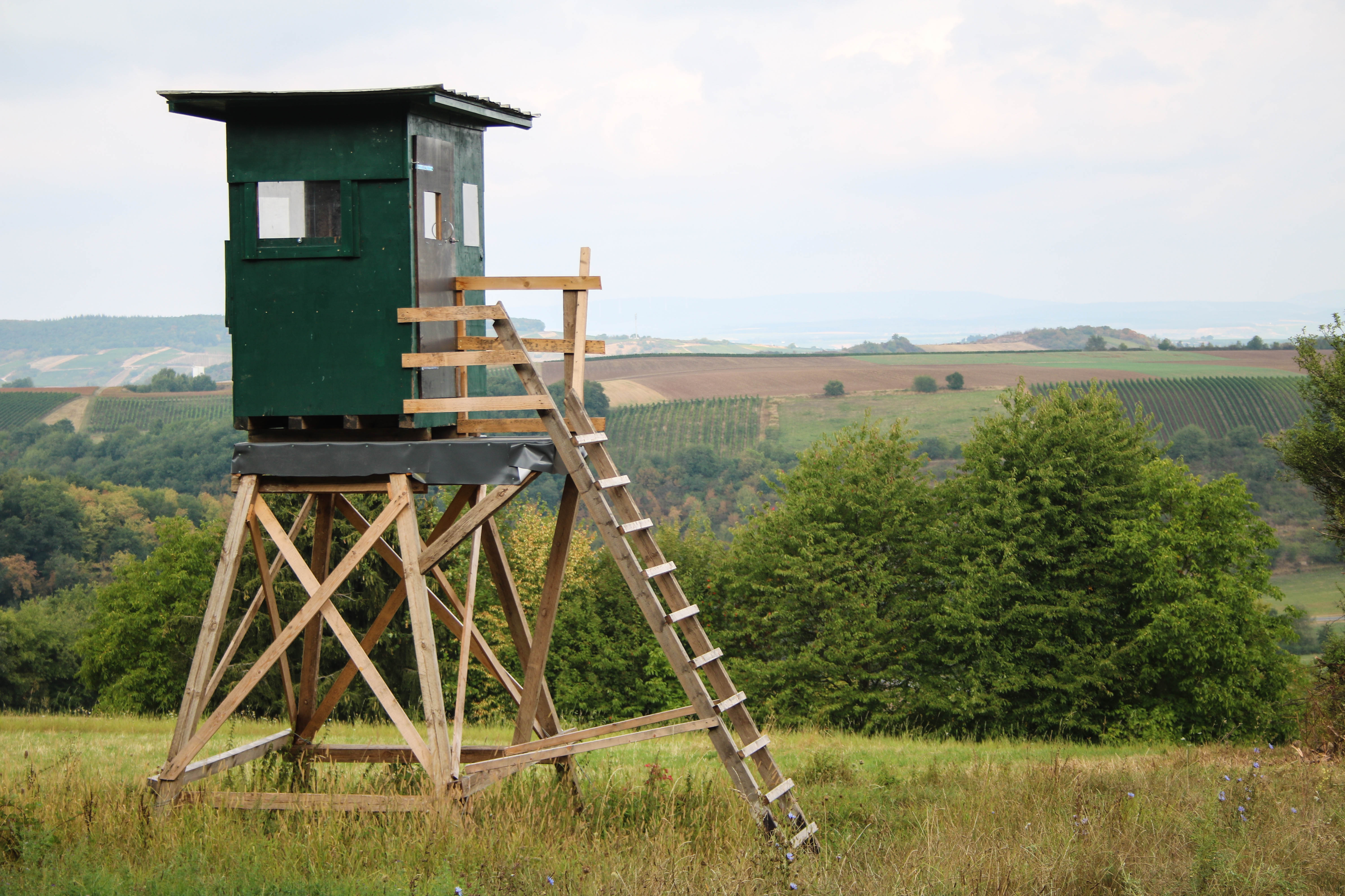
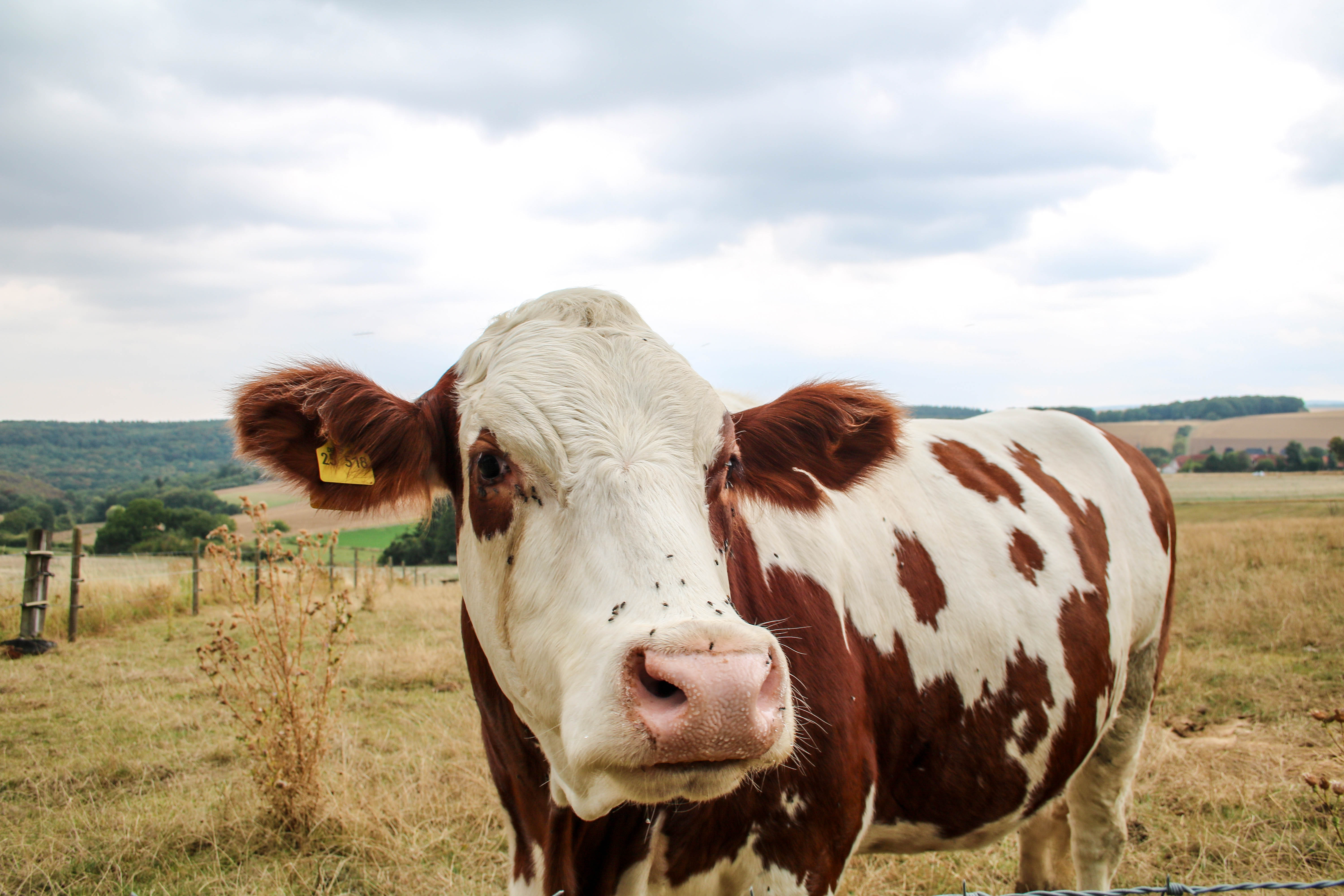
We are still walking along the edge of the forest. Next to us cows and horses graze, which obviously find us less interesting than we find them. At the Jägerlust forester's lodge, the access road to Mörsfeld and the Restaurant Hof Pfalzblick from.
Wine at last
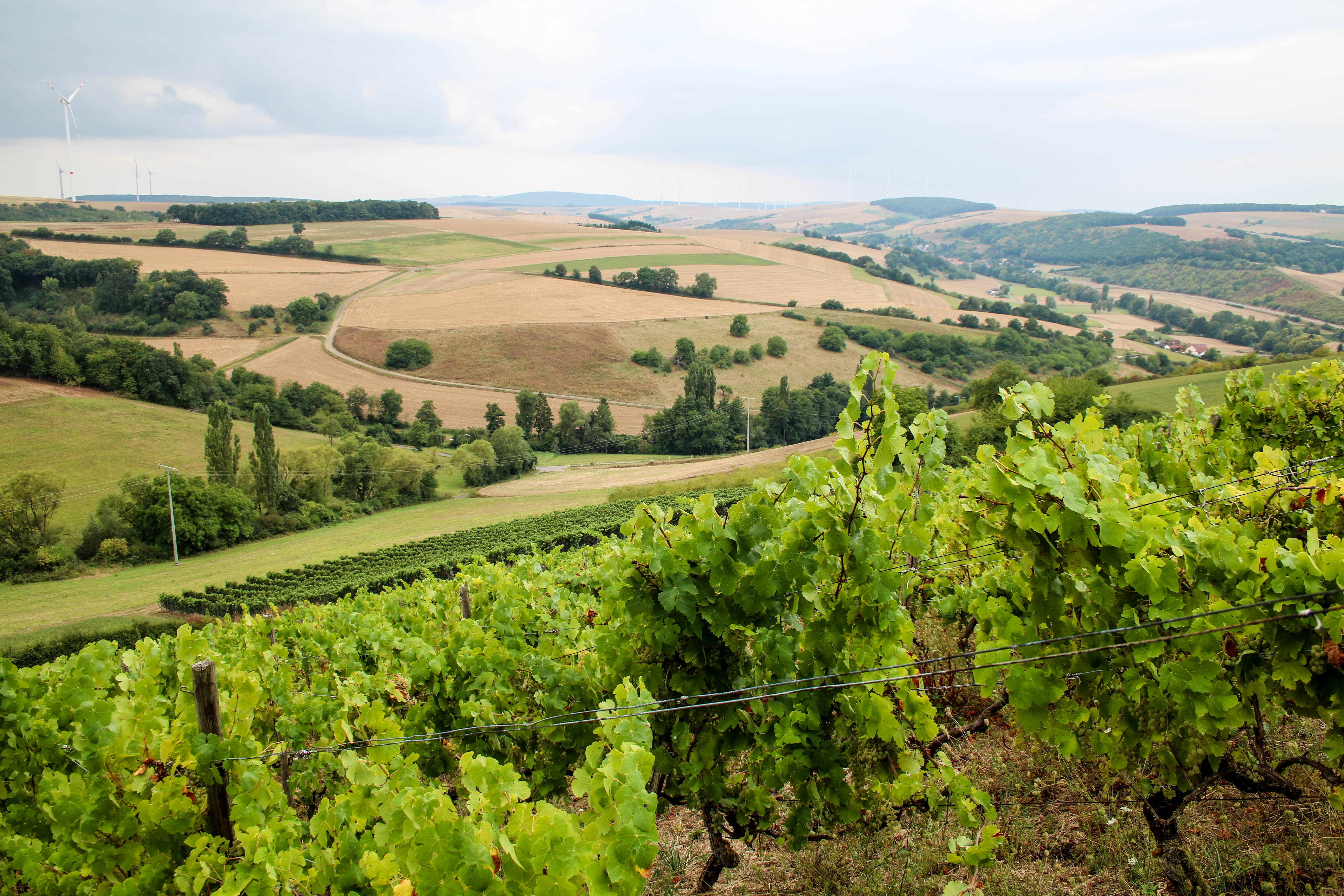
The next stage welcomes us with beautiful meadow paths and wild hedges that we have not seen before today. And something else is new: The first vines line our path. We are now moving right on the border of the wine-growing regions of Rheinhessen and Pfalz and are delighted at the sight of the grapes. By the way, the wine table is already in the wine-growing area of the Palatinate. Does that matter? Not at all. The magnificent view over the Appelbach Valley is for me the most beautiful so far!
In the last larger section of the forest we once again enjoy the cool air and the beautiful canopy of the mixed deciduous forest. Then we reach the Hermannsfeld, an open field. One last time we look over the wine hills before we noticeably lose altitude. Tiefenthal is calling!
A perfect ending
The wonderful end to this wonderful hike is a gorge-like terrain that requires some sure-footedness, but is scenically gorgeous. The trail even takes us through an old tree.
After a good four hours we reach the village square again. Exhausted, but happy!


2 Responses
As an old "Nordpälzer Bub", born in Niederhausen an der Appel and lived there for the first 15 years of my life, who has lived in the Rhineland for 66 years and comes back to the old homeland every now and then, I find the Rheinhessen Switzerland with the Hiwwltouren very beautiful. Some of them I have hiked, including of course the one described in your article. In this interesting article, however, I also noticed some errors. Namely, it is the Rheinpfalz and not the reschtsrheinische Kurpfalz, which belonged to Bavaria until 1946. In addition, on a photo, on which one can ekennen Niederhausen well, you confuse the view into the north Palatinate mountain country with the Rhine Hessian hill country. The vineyard to be seen is also not in the largest German wine-growing region Rheinhessen, but in the district of
"On the pasture" which belongs to Niederhausen. No offense, the tour is definitely recommended, but as an old "local patriot" I just did not want to let this stand so uncommented. With kind regards from Cologne, Klaus Nachbar
Hello, Mr. Neighbor,
Nice that you like our Hiwweltouren so much and have already hiked some. The wide views in the "border region" between the wine-growing areas of Rheinhessen and Pfalz have their pitfalls, so the assignment is not always easy. However, we do not want to adorn ourselves with borrowed plumes, i.e. vineyards, so we are grateful for the hints. It is correct that after 1815, not the Electoral Palatinate, but only parts of it, namely the southern heartland of the Electoral Palatinate on the left bank of the Rhine, belonged to the Kingdom of Bavaria. The text has been corrected accordingly. Rhine Palatinate was then called the area only from 1836.