The Saulheimer Hölle Hiking Tour It leads from Saulheim through the idyllic Mühlbach floodplain to wonderful rest areas and lookout points. Spectacular panoramic views can be enjoyed at the „Donnersbergblick,“ as well as of the „Saulheimer Hölle,“ at the Selztalblick, and at the „Tisch des Weines.“ The certified hiking trail opened in May 2026; it is 10.5 kilometers long, and you should plan on spending about 2 hours and 45 minutes on it.
Saulheimer Hölle Hiking Trail: Through the Mühlbach floodplain and vineyards
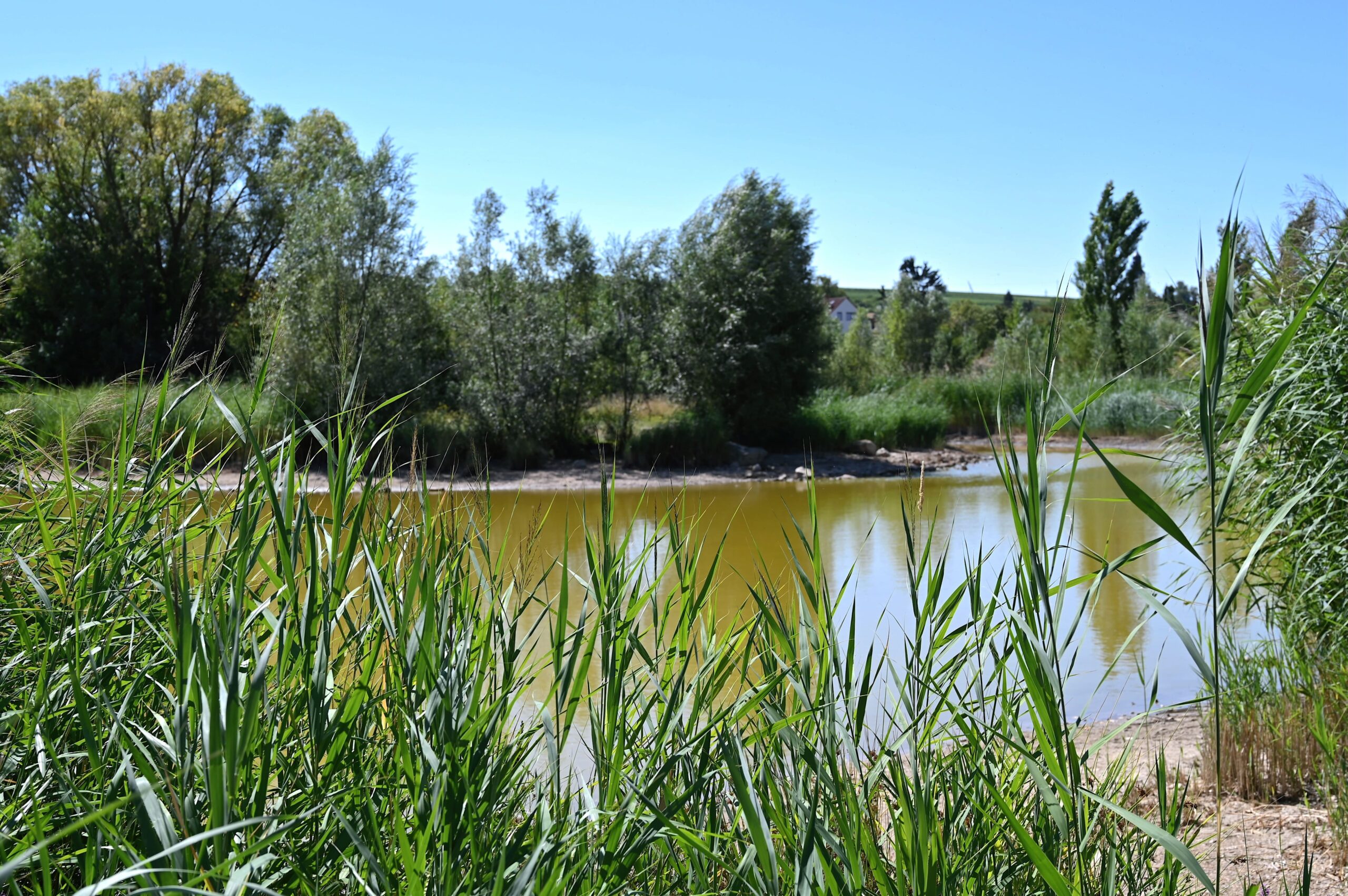
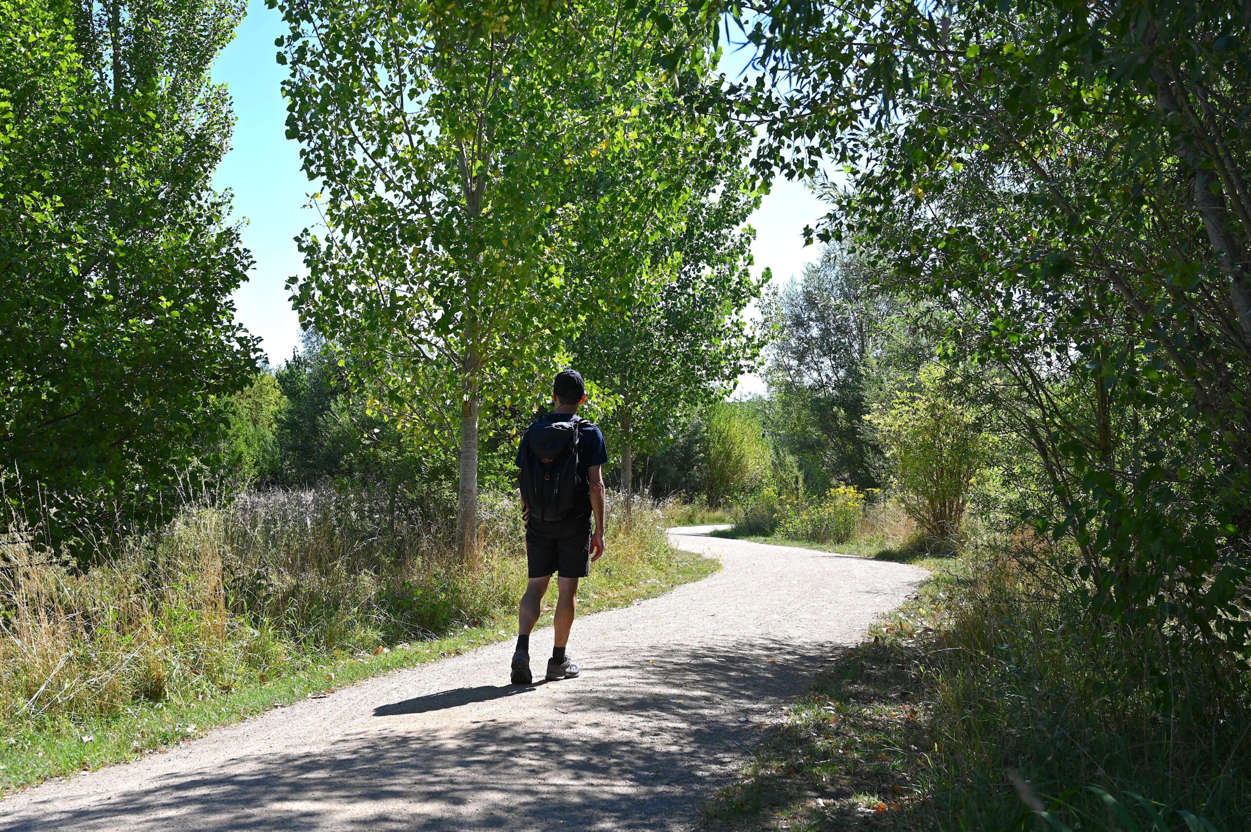
The Saulheimer Hölle Hiwweltour begins at the community center in Saulheim next to the neighborhood playground. From the parking lot, I turn off toward the southwest and walk along the Mühlbach. After just a few minutes, I reach the first highlight of this hike: the idyllic Mühlbach Floodplain. The restored floodplain area between Ober- and Nieder-Saulheim is a beautiful landscape park with shaded rest areas and places to sit. Ponds and side channels of the Mühlbach alternate along the path, and you can spot ducks, geese, and—with a little luck—coots, frogs, and wild bees. The paths through the 14-hectare floodplain area and biotope are accessible to all and lined with willows, poplars, and alders.
The Idyllic Mühlbach Floodplain
Trail through a restored floodplain area
Water Kiosk and View of the Donnersberg: A View All the Way to the Donnersberg
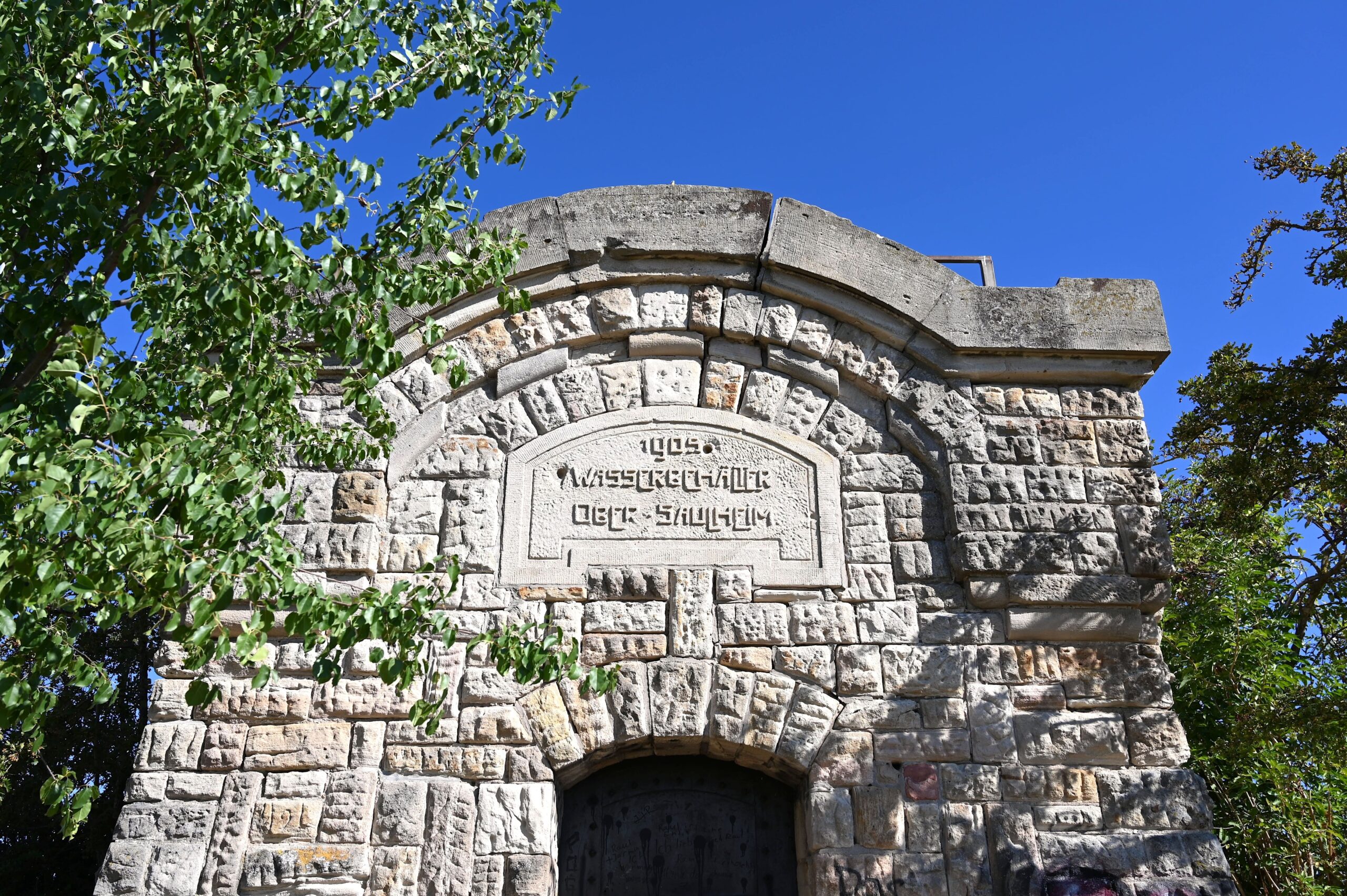
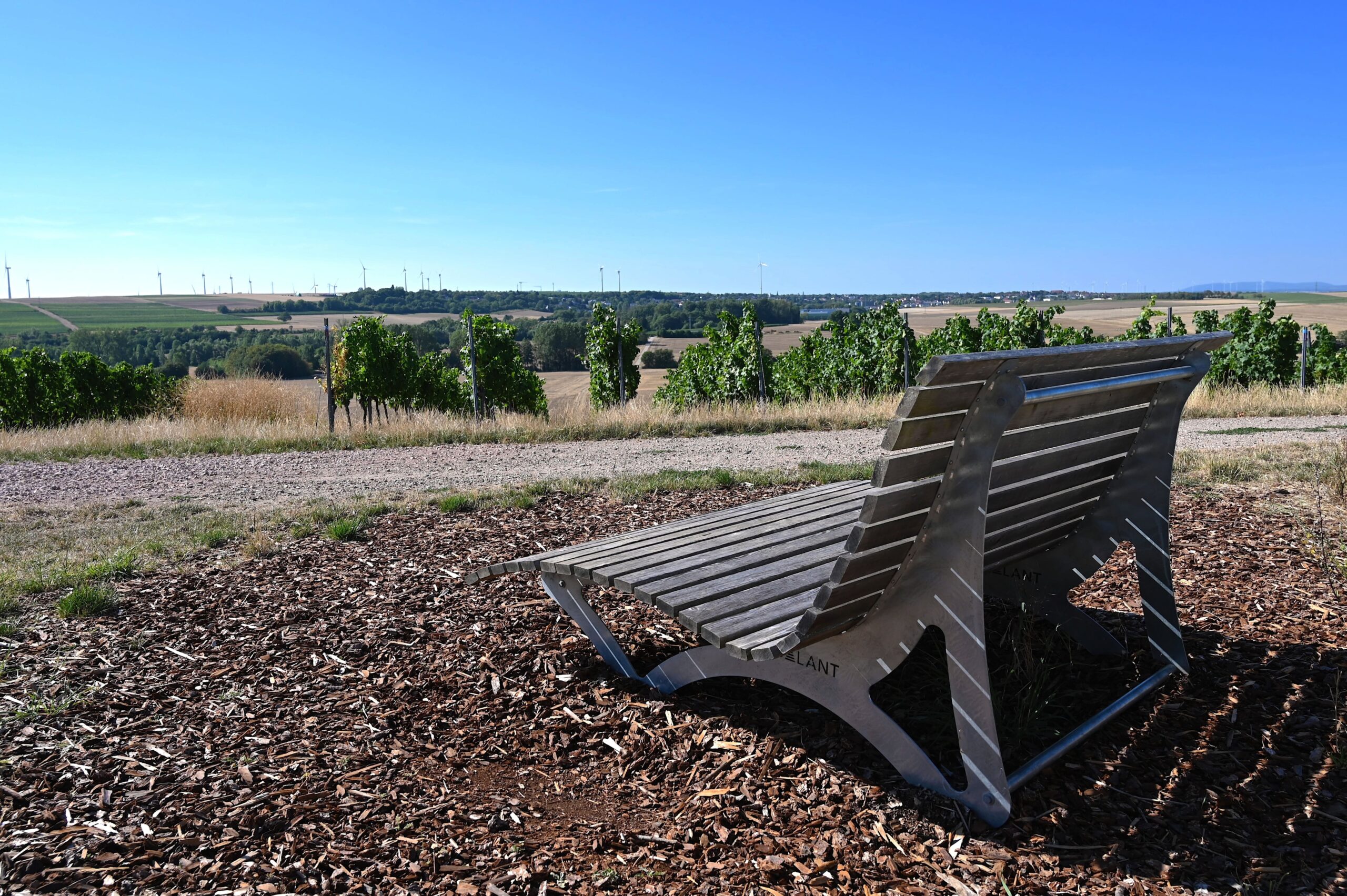
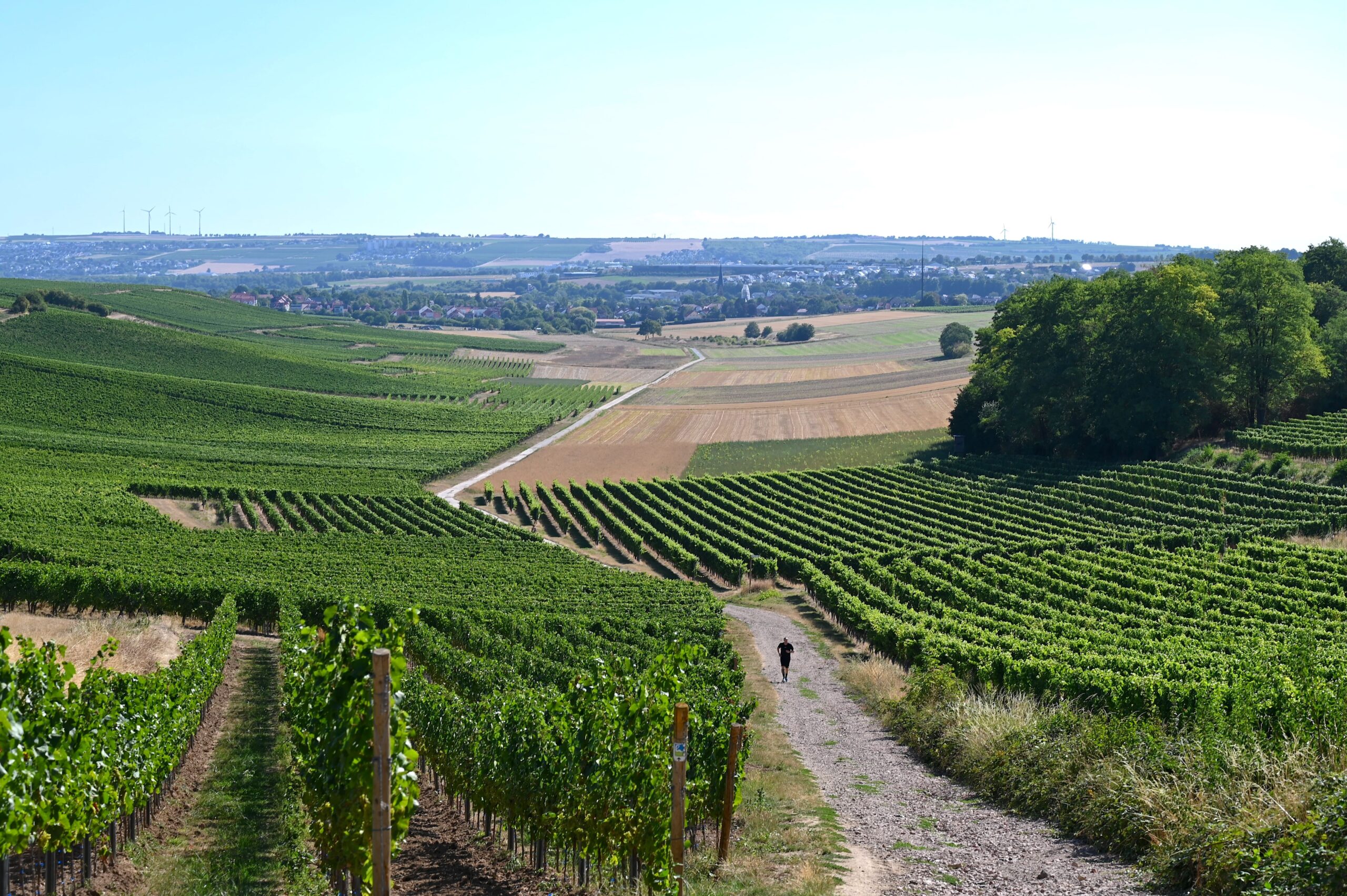
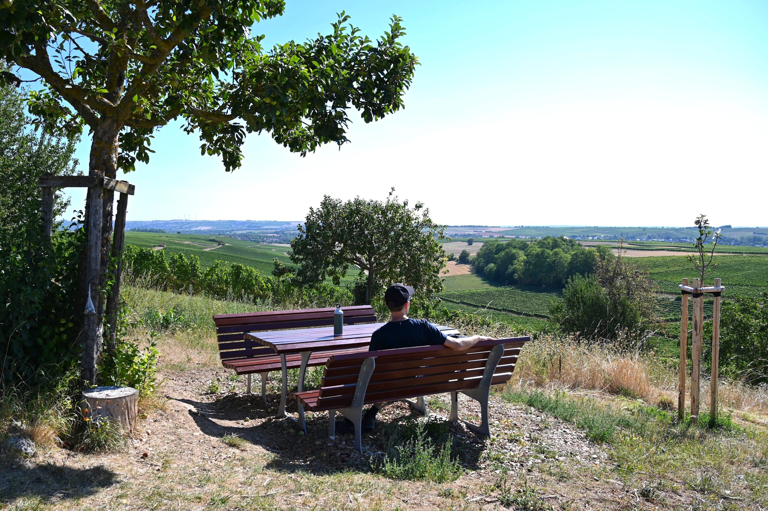
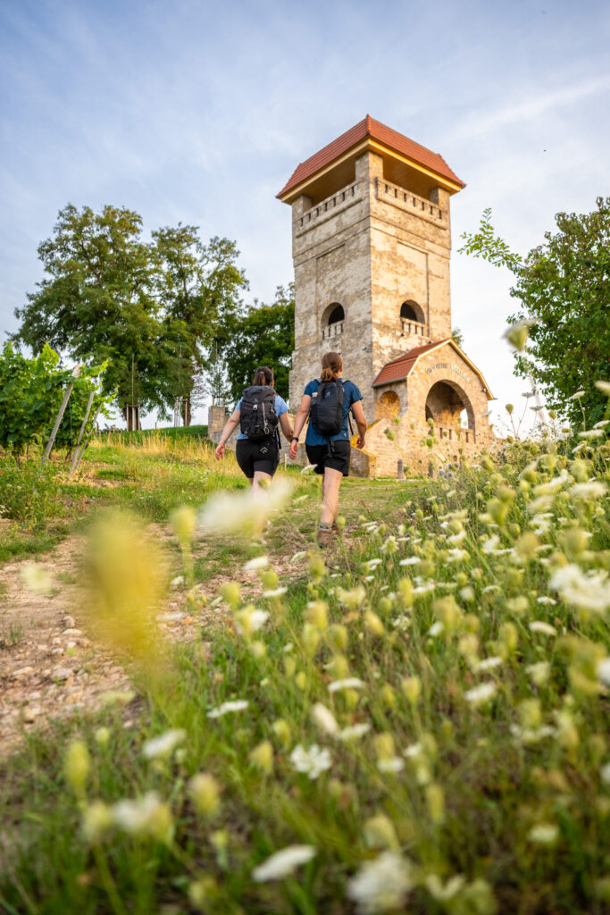
From the Mühlbach floodplain, I walk out of the town and uphill into the vineyards. After a short climb, I turn left and pass the Art Nouveau-style Ober-Saulheim water house—built in the early 19th century—on my way to the „Donnersbergblick“ rest area. Here, the view sweeps across the Rheinhessen hills to the Donnersberg—the highest mountain in the Palatinate—and all the way to the Odenwald. The view is beautiful, and the rest area offers benches for sitting and lounge chairs for relaxing. I enjoy the fantastic view in the nice weather and take a break to have a drink before continuing on. It’s mid-August; the grapevines in the region are heavy with grapes, and the grape harvest in Rheinhessen is just around the corner.
Ober-Saulheim Water Kiosk
Donnersbergblick Rest Area
Neeb's Little Forest and the View of the Saulheimer Hölle
A short while later, I walk past Neeb’s grove, which was planted in the mid-19th century by the mayor at the time, Prof. Johannes Neeb. Back then, there was a shortage of lumber and firewood in Rheinhessen, so he had a small grove of acacia trees planted. This tree species grows quickly, and its wood is very durable and flexible. The shortage was thus quickly resolved, and due to this success, more acacia trees were planted throughout Rheinhessen. After passing the grove, the hiking trail continues westward and uphill to the viewpoint „Saulheim Hell“. The Hiwweltour owes its name to this well-known vineyard site. The limestone-marl soils and the wind-protected location produce excellent red wines and Rieslings with pronounced minerality.
Named after: The Saulheimer Hölle vineyard
The single-vineyard plot faces south and is located on the edge of a limestone plateau. It is believed to have formed about 30 million years ago. Fertile loess soil and sun-drenched vines are the ingredients behind the top wines of the Saulheimer Hölle, though in this context, „Hölle“ refers to a gentle slope and not a place of eternal damnation. It’s just a few steps from the lookout point to the nearest place to sit. Here you’ll find a mixed orchard with trees that bloom at different times of the year, providing food for wild bees and butterflies. Today’s mixed orchard carries on the tradition of the fruit orchards that once existed in the region. The rest area with the bench is wonderfully idyllic.
Rest area by the orchard meadow
Stone-cut pastures and mixed agricultural cropping systems
I then follow the hiking trail north across a vast high plateau that is used for agriculture. This section also offers magnificent views in all directions. On this summer day, the view stretches all the way to the Rheingau and the Großer Feldberg in the Taunus Mountains. Along the way, I pass the former limestone quarry of Nieder-Saulheim, which has since been filled in and is now also farmland. The former limestone quarry borders the historic dirt road to Partenheim, which connects the surrounding wine-growing communities. Incidentally, this section of the hike follows the Way of St. James.
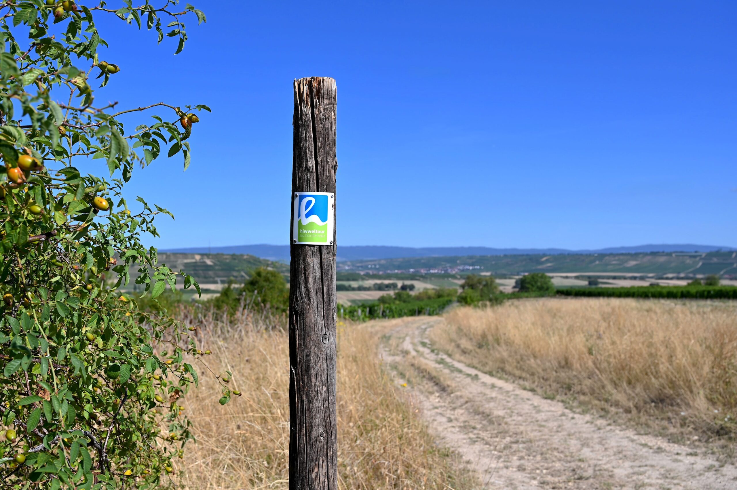
Always in sight: High-visibility markings
Selztalblick - A rest area with a perfect panoramic view
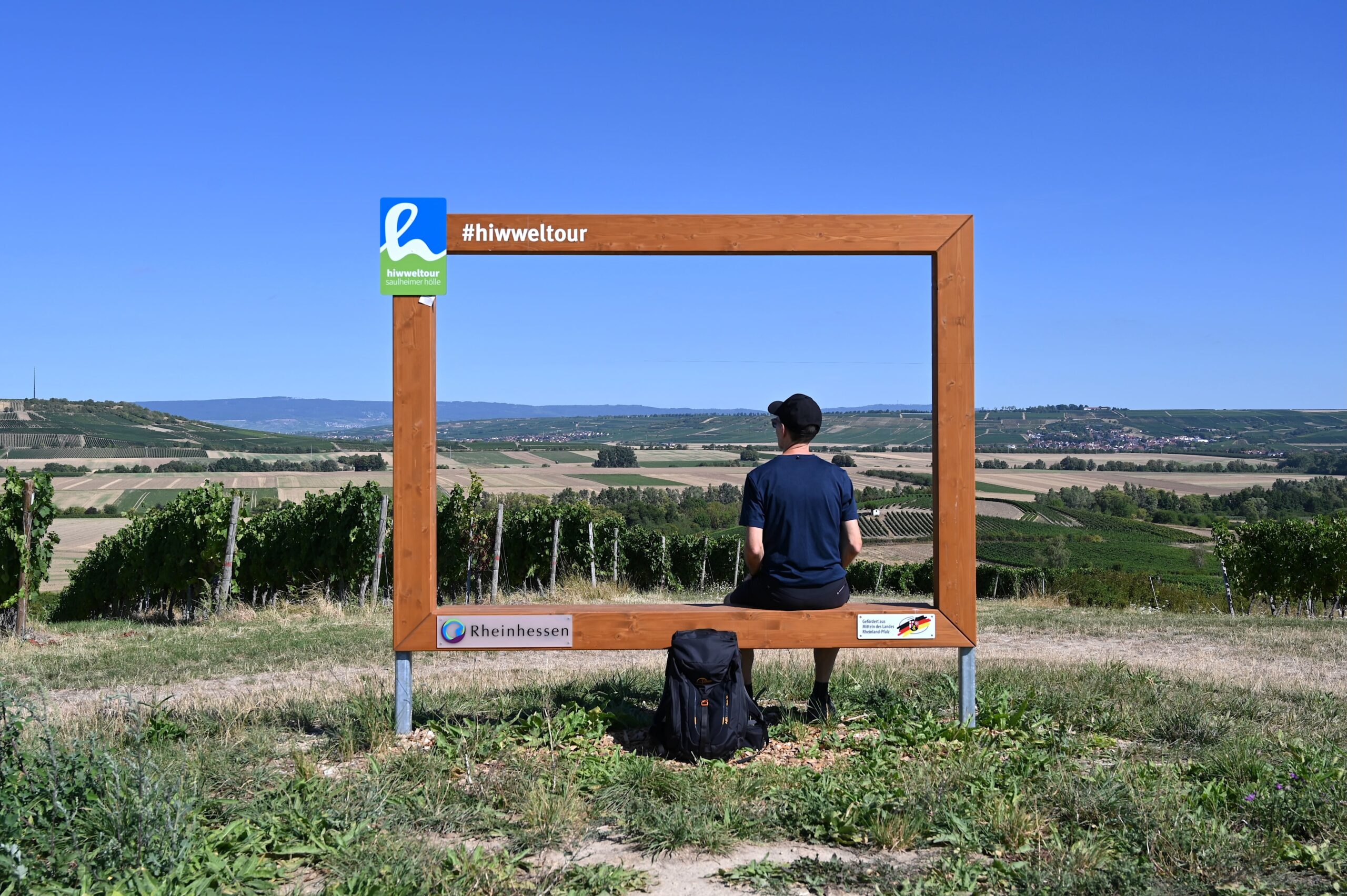
I hike down along the boundary trail of the municipal district to the Selztalblick rest area, with its benches and wooden photo frame. The viewpoints along the new Hiwweltouren trails are perfectly chosen, as they offer hikers additional highlights in addition to the classic sights along the routes. During my break and a snack, I enjoy the view of the picturesque Selztal valley and the surrounding vineyards. Afterward, I continue uphill along a section of the Way of St. James, passing the Bergs-Heisje, the Klauer slide slope, and the Gabelberger Brünnchen.
The location is perfect: picture frames with a view
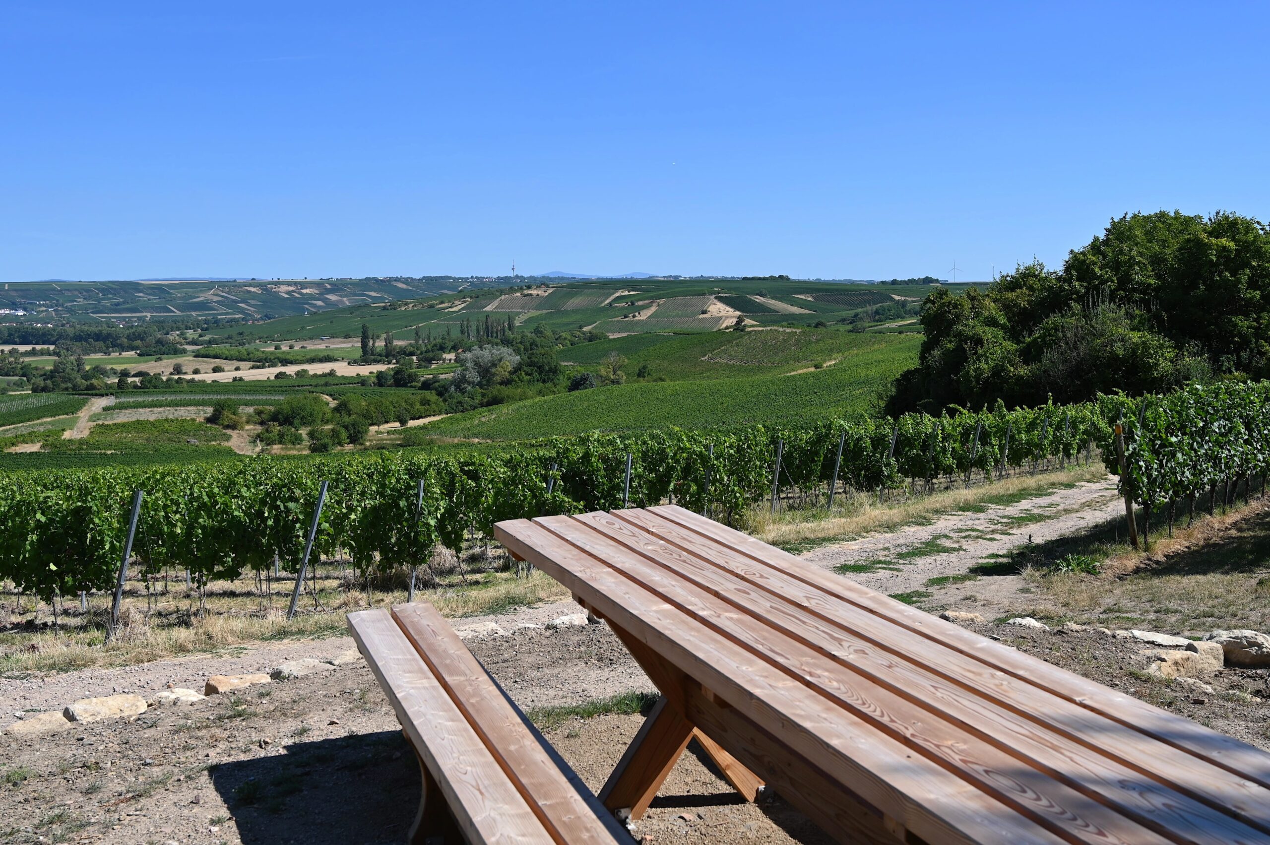
A view across the Rheinhessen Primordial Sea at the Table of Wine
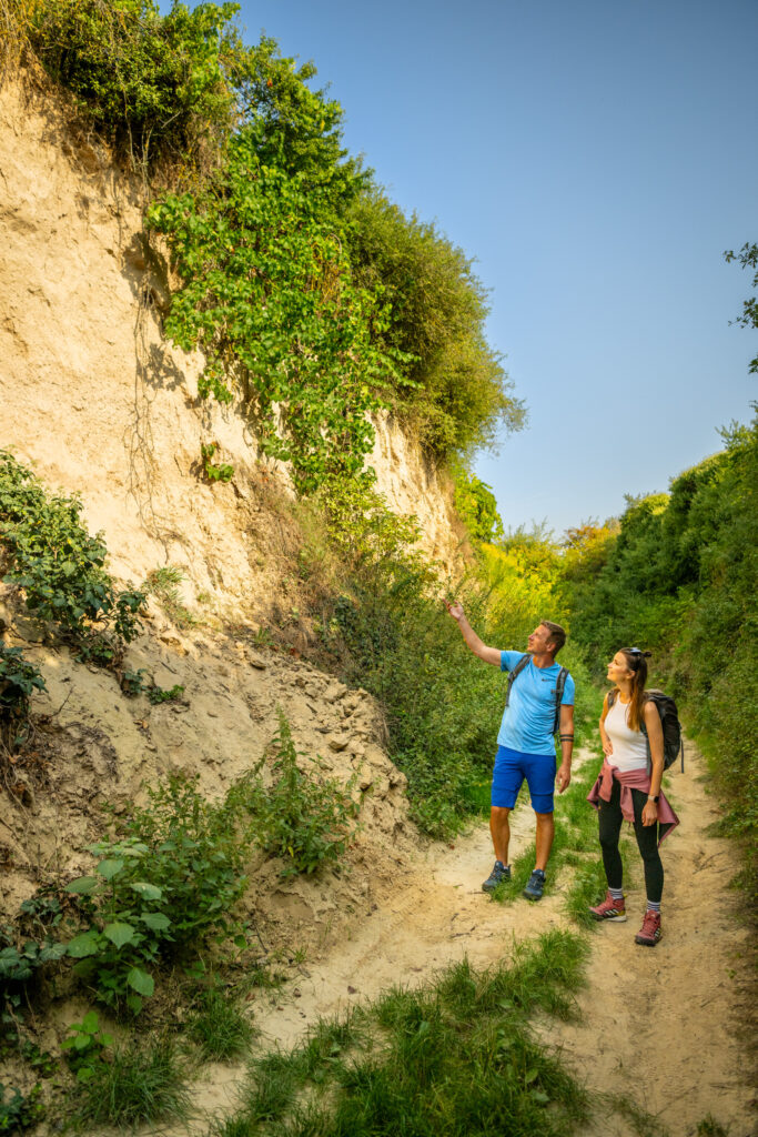
The next place to sit along the way is already waiting—the „Wine Table,“ with a view of the Mainz Basin. Millions of years ago, this spot was part of a primeval sea, as evidenced by the discovery of shells. At that time, Rheinhessen lay in a lagoon with reefs; limestone formed, and layers of clay and sand were deposited. Later, the sea receded, leaving behind a plateau. Typical of the region are ancient clay-marl deposits that shift when it rains, sliding centimeter by centimeter. Water collects in the hollows, forming wild islands (Klauer) in the “sea of vineyards,” and groundwater flows through narrow fissures in the limestone. It’s a fascinating geological history that remains visible today and shapes the Rheinhessen region.
View from the Wine Table
The Rheinhessen Plateau with breathtaking views
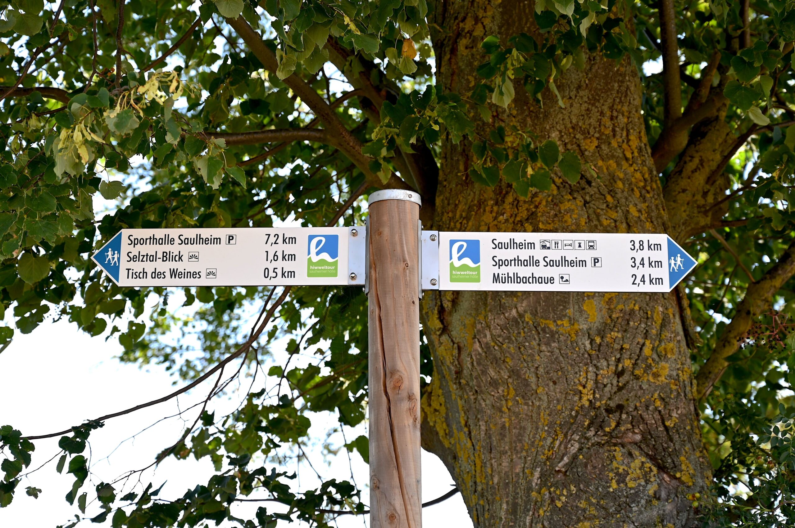
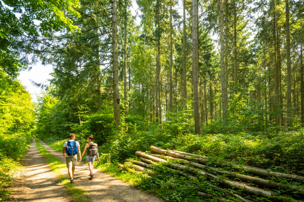
From the „Tisch des Weines,“ I walk past the White House and head south across the vast plateau. Here you’ll find fields with mixed crops, and there’s a bench by the side of the path. A light, cooling breeze blows across the plain; in the distance, the Donnersberg is visible again, as is a small portion of the Odenwald hills. This section of the Hiwweltour offers just as many scenic views as the rest areas and stops I’ve already passed through. There are only a few gentle ascents and descents along the route, and here, too, the trail’s signage—including directional signs and information boards—is clearly visible.
The signage helps people find their way around
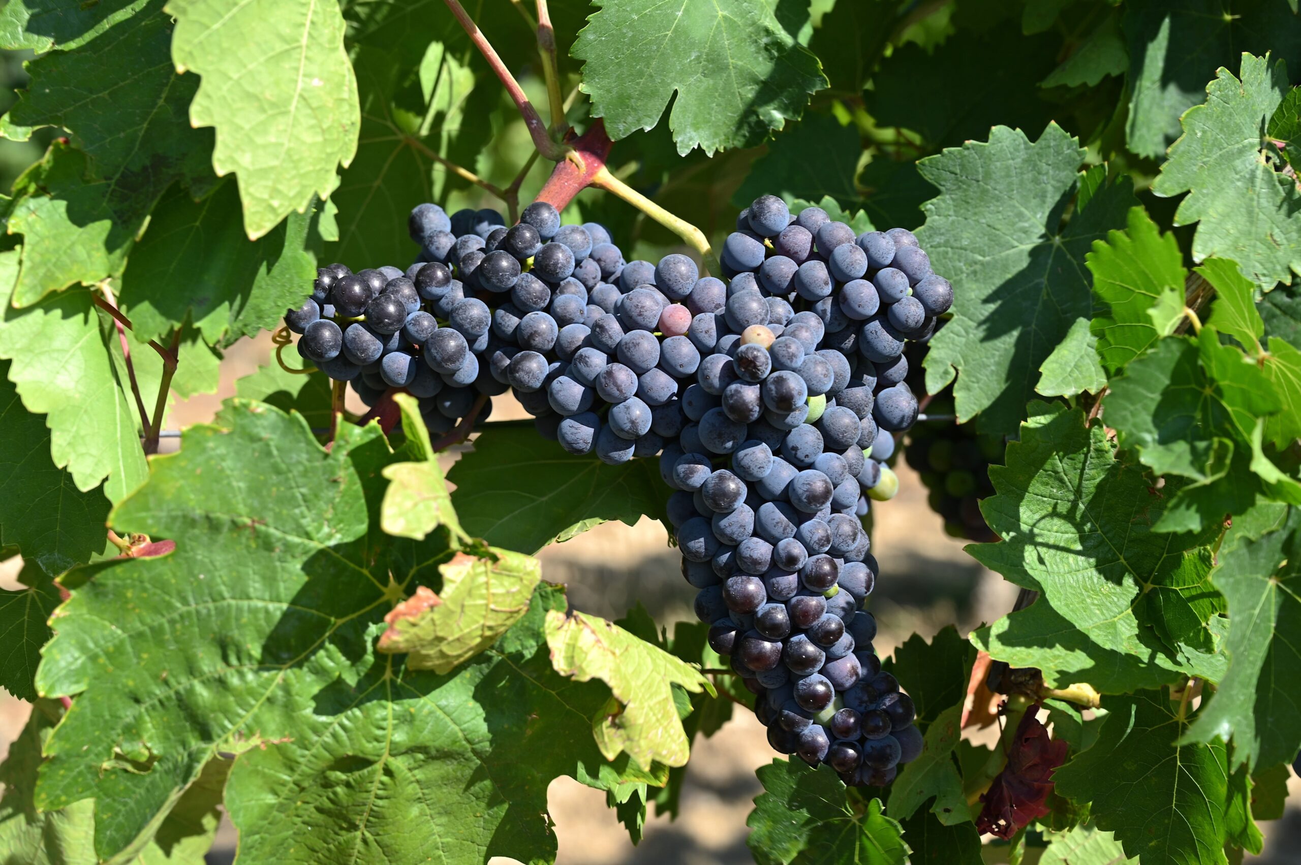
Almost ripe—the red grapes by the side of the road
Now the trail continues south along the vineyards toward Saulheim. The vines are laden with lush grapes, which the winemakers will harvest in the coming weeks. Soon the Mühlbach floodplain comes back into view; I walk down through the vineyard and a short while later find myself at the entrance to the town of Saulheim. To conclude the tour, I walk back through the idyllic floodplain area to the parking lot at the community center. That is the start and finish point of the Hiwweltour Saulheimer Hölle.
Discover Saulheim: Attractions and Places to Stop for a Bite to Eat
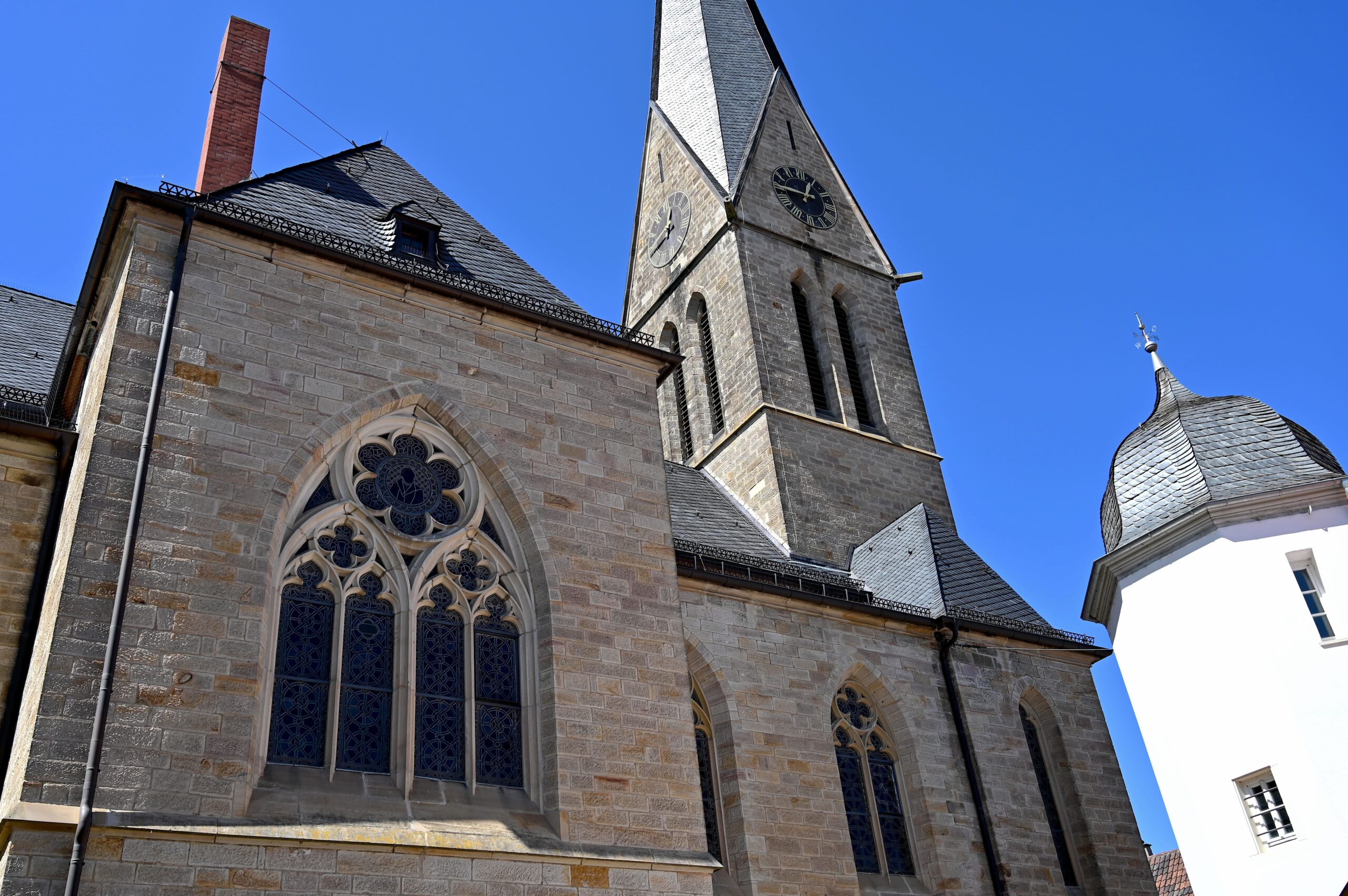
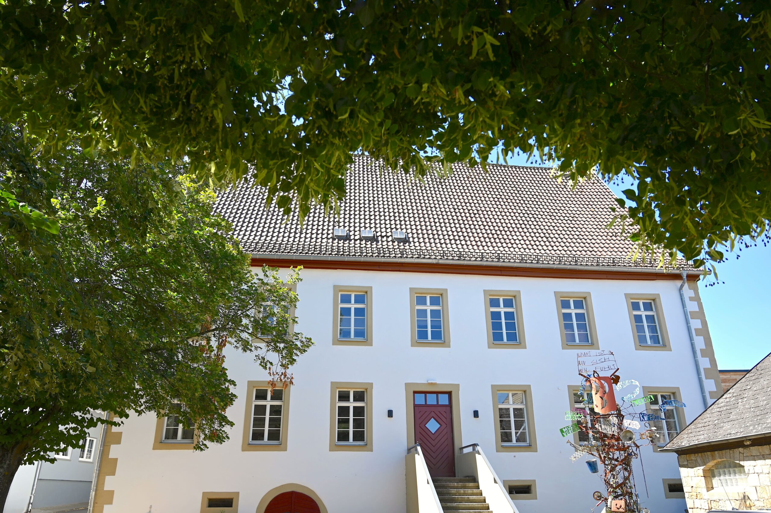
If you'd like to spend some more time in Saulheim after the hike, you can check out the St. Bartholomew Catholic Church and the Protestant Church of Nieder-Saulheim Take a look. Both are located right next to the City Hall. Not far from there is the Saulheim Local History Museum, which is currently closed for renovation work. However, you can at least admire the beautiful historic building from the outside. For a break, you can visit the Schloßgartenhof Wine Bar– Dörrschuck Winery and the Weidenberger-Hof Estate Tavern ... By the way, before setting out on the hike, you can stop by the Hotel Lehn have breakfast.
The Protestant Church in Nieder-Saulheim
The Saulheim Local History Museum, located in a historic building.
My conclusion
The Saulheimer Hölle Hiwweltour is wonderfully diverse and offers a wide variety of scenery. Spectacular viewpoints with magnificent panoramic views alternate with idyllic stretches through the vineyards of Rheinhessen. My personal highlights are the Mühlbachaue, the „Donnersbergblick“ rest area, the view of the Saulheimer Hölle, the vast plateau, the view of the Selz Valley, and the „Tisch des Weines.“ The Hiwweltour offers beautiful scenery, but there are few shaded sections, which is why I would recommend hiking early in the morning on hot summer days.
Getting There and Tips
The Hiwweltour can be reached from the Saulheim train station via a marked access trail (900 m long). By car, you can reach the town via the A63 by taking the Saulheim exit and driving along the L401 toward Saulheim. There is a parking lot at the community center, which also serves as the starting and ending point of the Hiwweltour. For the hike, we recommend non-slip footwear, comfortable hiking clothes, something to drink, and a snack to pack in your backpack.
Having grown up with roots in Rheinhessen and the Palatinate, I enjoy exploring Rheinhessen, the Palatinate and other regions on hikes, bike tours and other outdoor activities. I report about this on my blog "People Abroad" as well as for various media and tourism providers.